Earthquake 54 km W of Tyonek, Alaska
Fri, 09 Jan 2026 19:01:34 GMT
Time2 days ago
Location
61.1130, -152.1380
Depth
107.7 KM
Event Summary
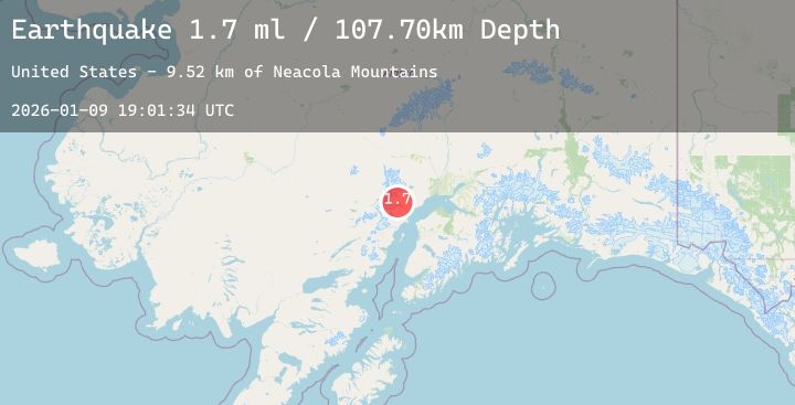
A 1.7 magnitude earthquake struck on 54 km W of Tyonek, Alaska, at Fri, 09 Jan 2026 19:01:34 GMT. Depth: 107.7km. Reviewed by USGS seismologists, this minor quake occurred at a magnitude type of ml.
Magnitude
1.7
ml
Source
USGS
Intensity
-
Agency Reports
1 Sources| Source | Magnitude | Depth | Time |
|---|---|---|---|
| USGSPrimary | 1.7 | 108 km | 2 days ago |
Earthquake Details
AutomaticEvent IDusgs_ak2026aqdqxe
Tsunami PotentialNo
Magnitude Typeml
Nearest Places
- Neacola Mountains9.5 km
- Aleutian Range12.1 km
- K’idazq’eni Glacier12.8 km
- Blockade Glacier13.8 km
- Crater Glacier16.3 km
Comments
Join the discussion about this event.
Latest Earthquakes
2.1Mag
NORTHERN CALIFORNIA
Time2 days ago
Depth20.00 km
SourceNC (Automatic)
2.4Mag
Sunda Strait, Indonesia
Time2 days ago
Depth33.76 km
SourceBMKG (Automatic)
1.4Mag
7 km ESE of Lake Roesiger, Washington
Time2 days ago
Depth12.37 km
SourceUSGS
2.5Mag
Java, Indonesia
Time2 days ago
Depth49.55 km
SourceBMKG (Automatic)
2.1Mag
CENTRAL TURKEY
Time2 days ago
Depth7.20 km
SourceKOERI (Automatic)