Earthquake 85 km NNW of Karluk, Alaska
Tue, 13 Jan 2026 00:44:12 GMT
Time1 hour ago
Location
58.2850, -154.9630
Depth
5.0 KM
Event Summary
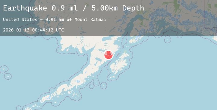
A 0.9 magnitude earthquake struck on 85 km NNW of Karluk, Alaska, at Tue, 13 Jan 2026 00:44:12 GMT. Depth: 5km. Reviewed by USGS seismologists, this minor quake occurred at a magnitude type of ml.
Magnitude
0.9
ml
Source
USGS
Intensity
-
Agency Reports
1 Sources| Source | Magnitude | Depth | Time |
|---|---|---|---|
| USGSPrimary | 0.9 | 5 km | 1 hour ago |
Earthquake Details
AutomaticEvent IDusgs_ak2026awceqy
Tsunami PotentialNo
Magnitude Typeml
Nearest Places
- Mount Katmai0.9 km
- The Knife Creek Glaciers2.6 km
- Crater Lake2.6 km
- The Knife Creek Glacier4.8 km
- Noisy Glacier6.1 km
Comments
Join the discussion about this event.
Latest Earthquakes
2.1Mag
Java, Indonesia
Time43 minutes ago
Depth92.18 km
SourceBMKG (Automatic)
4.0Mag
Halmahera, Indonesia
Time44 minutes ago
Depth86.46 km
SourceBMKG (Automatic)
2.4Mag
Sumbawa Region, Indonesia
Time46 minutes ago
Depth37.73 km
SourceBMKG (Automatic)
3.3Mag
West Papua, Indonesia
Time1 hour ago
Depth14.85 km
SourceBMKG (Automatic)
2.2Mag
WESTERN TEXAS
Time1 hour ago
Depth4.70 km
SourceTX (Automatic)
Nearby Earthquakes
1.8Mag
88 km WNW of Karluk, Alaska
Time5 hours ago
Depth12.20 km
SourceUSGS (Automatic)
2.1Mag
68 km NNW of Aleneva, Alaska
Time16 hours ago
Depth79.70 km
SourceUSGS (Automatic)
2.3Mag
29 km N of Larsen Bay, Alaska
Time18 hours ago
Depth57.40 km
SourceUSGS (Automatic)
2.5Mag
66 km S of Kokhanok, Alaska
Time20 hours ago
Depth139.70 km
SourceUSGS (Automatic)