Earthquake 126 km NNW of Yakutat, Alaska
Thu, 15 Jan 2026 23:41:46 GMT
Time7 hours ago
Location
60.6540, -140.2180
Depth
0.0 KM
Event Summary
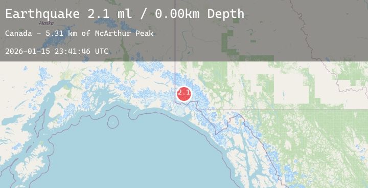
A 2.1 magnitude earthquake struck on 126 km NNW of Yakutat, Alaska, at Thu, 15 Jan 2026 23:41:46 GMT. Depth: 0km. Reviewed by USGS seismologists, this minor quake occurred at a magnitude type of ml.
Magnitude
2.1
ml
Source
USGS
Intensity
-
Agency Reports
1 Sources| Source | Magnitude | Depth | Time |
|---|---|---|---|
| USGSPrimary | 2.1 | 0 km | 7 hours ago |
Earthquake Details
ConfirmedEvent IDusgs_ak2026bbnhoj
Tsunami PotentialNo
Magnitude Typeml
Nearest Places
- McArthur Peak5.3 km
- Mount Logan14.1 km
- Mount Upton18.2 km
- Marker Lake20.2 km
- Logan Glacier21.1 km
Comments
Join the discussion about this event.
Latest Earthquakes
2.1Mag
West Papua Region, Indonesia
Time6 hours ago
Depth10.00 km
SourceBMKG (Automatic)
0.7Mag
23 km ENE of Minto, Alaska
Time6 hours ago
Depth5.00 km
SourceUSGS (Automatic)
2.5Mag
Minahassa Peninsula, Sulawesi
Time7 hours ago
Depth67.94 km
SourceBMKG (Automatic)
4.3Mag
TAIWAN
Time7 hours ago
Depth51.70 km
SourceCWB (Automatic)
5.1Mag
Halmahera, Indonesia
Time7 hours ago
Depth99.09 km
SourceBMKG (Automatic)