Earthquake 93 km NNW of Yakutat, Alaska
Thu, 15 Jan 2026 18:32:38 GMT
Time5 hours ago
Location
60.2620, -140.6040
Depth
5.0 KM
Event Summary
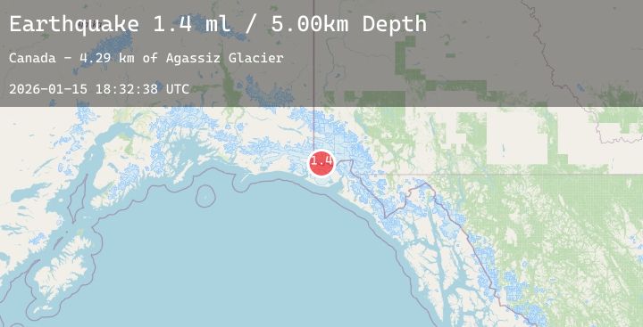
A 1.4 magnitude earthquake struck on 93 km NNW of Yakutat, Alaska, at Thu, 15 Jan 2026 18:32:38 GMT. Depth: 5km. Reviewed by USGS seismologists, this minor quake occurred at a magnitude type of ml.
Magnitude
1.4
ml
Source
USGS
Intensity
-
Agency Reports
1 Sources| Source | Magnitude | Depth | Time |
|---|---|---|---|
| USGSPrimary | 1.4 | 5 km | 5 hours ago |
Earthquake Details
AutomaticEvent IDusgs_ak2026bbdbci
Tsunami PotentialNo
Magnitude Typeml
Nearest Places
- Agassiz Glacier4.3 km
- Cascade Glacier5.7 km
- Mount Malaspina6.0 km
- Boundary Peak 1846.3 km
- Newton Glacier6.8 km
Comments
Join the discussion about this event.
Latest Earthquakes
2.1Mag
Bali Region, Indonesia
Time4 hours ago
Depth82.92 km
SourceBMKG (Automatic)
1.6Mag
52 km WNW of Ninilchik, Alaska
Time4 hours ago
Depth102.90 km
SourceUSGS (Automatic)
2.0Mag
Sumbawa Region, Indonesia
Time4 hours ago
Depth26.94 km
SourceBMKG (Automatic)
4.3Mag
PHILIPPINE ISLANDS REGION
Time4 hours ago
Depth10.00 km
SourcePIVS (Automatic)
1.6Mag
10 km NNE of Talmage, CA
Time4 hours ago
Depth0.67 km
SourceUSGS (Automatic)