Earthquake 1 km SE of Point MacKenzie, Alaska
Sat, 17 Jan 2026 05:47:19 GMT
Time1 hour ago
Location
61.3490, -149.9500
Depth
22.9 KM
Event Summary
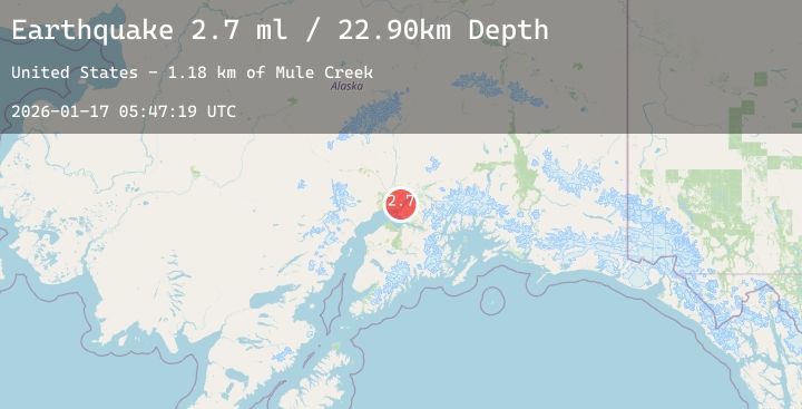
A 2.7 magnitude earthquake struck on 1 km SE of Point MacKenzie, Alaska, at Sat, 17 Jan 2026 05:47:19 GMT. Depth: 22.9km. Reviewed by USGS seismologists, this minor quake occurred at a magnitude type of ml.
Magnitude
2.7
ml
Source
USGS
Intensity
-
Agency Reports
1 Sources| Source | Magnitude | Depth | Time |
|---|---|---|---|
| USGSPrimary | 2.7 | 23 km | 1 hour ago |
Earthquake Details
AutomaticEvent IDusgs_ak2026bdvdkd
Tsunami PotentialNo
Magnitude Typeml
Nearest Places
- Point MacKenzie1.9 km
- Lost Lake3.0 km
- Mule Creek3.2 km
- Lost Lake Seaplane Base3.3 km
- Goose Creek Correctional Center3.4 km
Comments
Join the discussion about this event.
Latest Earthquakes
1.1Mag
2 km NNW of The Geysers, CA
Time2 hours ago
Depth3.48 km
SourceUSGS (Automatic)
3.1Mag
Halmahera, Indonesia
Time2 hours ago
Depth2.40 km
SourceBMKG (Automatic)
2.5Mag
Northern Sumatra, Indonesia
Time2 hours ago
Depth171.33 km
SourceBMKG (Automatic)
2.8Mag
MAULE, CHILE
Time2 hours ago
Depth69.90 km
SourceCSN (Automatic)
2.3Mag
WESTERN TEXAS
Time2 hours ago
Depth4.60 km
SourceTX (Automatic)
Nearby Earthquakes
2.4Mag
3 km SE of Point MacKenzie, Alaska
Time4 hours ago
Depth19.50 km
SourceUSGS (Automatic)
2.8Mag
6 km N of Houston, Alaska
Time15 hours ago
Depth27.00 km
SourceUSGS (Automatic)
1.4Mag
45 km ESE of Knik River, Alaska
Time19 hours ago
Depth17.40 km
SourceUSGS (Automatic)
1.6Mag
14 km NNE of Willow, Alaska
Time1 day ago
Depth20.00 km
SourceUSGS (Automatic)