Earthquake 2 km NNW of The Geysers, CA
Sat, 17 Jan 2026 05:26:23 GMT
Time2 hours ago
Location
38.7945, -122.7702
Depth
3.5 KM
Event Summary
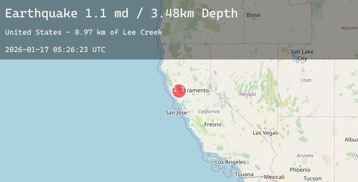
A 1.3 magnitude earthquake struck on 2 km NNW of The Geysers, CA, at Sat, 17 Jan 2026 05:26:23 GMT. Depth: 3.48000001907349km. Reviewed by USGS seismologists, this minor quake occurred at a magnitude type of md.
Magnitude
1.3
md
Source
USGS
Intensity
-
Agency Reports
5 Sources| Source | Magnitude | Depth | Time |
|---|---|---|---|
| USGSPrimary | 1.1 | 3 km | 2 hours ago |
| USGSPrimary | 0.5 | 2 km | 1 hour ago |
| USGSPrimary | 1.1 | 3 km | 1 hour ago |
| USGSPrimary | 1.3 | 1 km | 1 hour ago |
| USGSPrimary | 1.0 | 1 km | 1 hour ago |
Earthquake Details
AutomaticEvent IDusgs_nc75296846
Tsunami PotentialNo
Magnitude Typemd
Nearest Places
- Burned Mountain0.3 km
- Hot Springs Creek1.3 km
- Smudgeo Number 1 Heliport1.8 km
- Dianna Rock2.1 km
- Cobb Creek2.1 km
Comments
Join the discussion about this event.
Latest Earthquakes
1.2Mag
16 km S of Tres Pinos, CA
Time5 minutes ago
Depth4.69 km
SourceUSGS (Automatic)
1.5Mag
5 km SSW of Idyllwild, CA
Time7 minutes ago
Depth17.31 km
SourceUSGS (Automatic)
3.9Mag
South of Java, Indonesia
Time11 minutes ago
Depth5.96 km
SourceBMKG (Automatic)
2.3Mag
50 km SSW of Alcan Border, Alaska
Time25 minutes ago
Depth5.00 km
SourceUSGS (Automatic)
3.2Mag
OFF E. COAST OF N. ISLAND, N.Z.
Time27 minutes ago
Depth26.40 km
SourceGNS (Automatic)
Nearby Earthquakes
1.1Mag
6 km NNW of The Geysers, CA
Time42 minutes ago
Depth1.87 km
SourceUSGS (Automatic)
1.4Mag
9 km WNW of The Geysers, CA
Time3 hours ago
Depth2.36 km
SourceUSGS (Automatic)
1.3Mag
7 km NW of The Geysers, CA
Time5 hours ago
Depth2.74 km
SourceUSGS (Automatic)
0.7Mag
6 km WNW of Cobb, CA
Time6 hours ago
Depth1.81 km
SourceUSGS (Automatic)
0.7Mag
8 km NW of The Geysers, CA
Time7 hours ago
Depth1.55 km
SourceUSGS (Automatic)