Earthquake 98 km NNW of Karluk, Alaska
Sun, 18 Jan 2026 01:56:51 GMT
Time1 hour ago
Location
58.4260, -154.8330
Depth
0.0 KM
Event Summary
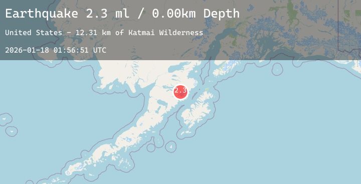
A 2.3 magnitude earthquake struck on 98 km NNW of Karluk, Alaska, at Sun, 18 Jan 2026 01:56:51 GMT. Depth: 0km. Reviewed by USGS seismologists, this minor quake occurred at a magnitude type of ml.
Magnitude
2.3
ml
Source
USGS
Intensity
-
Agency Reports
1 Sources| Source | Magnitude | Depth | Time |
|---|---|---|---|
| USGSPrimary | 2.3 | 0 km | 1 hour ago |
Earthquake Details
AutomaticEvent IDusgs_ak2026bfjfrj
Tsunami PotentialNo
Magnitude Typeml
Nearest Places
- Serpent Tongue Glacier13.1 km
- Katmai Wilderness13.1 km
- Snowy Mountain13.5 km
- Wolverine Falls14.9 km
- Rainbow River15.9 km
Comments
Join the discussion about this event.
Latest Earthquakes
1.8Mag
3 km ESE of Pāhala, Hawaii
Time1 hour ago
Depth-0.52 km
SourceUSGS (Automatic)
2.5Mag
Java, Indonesia
Time2 hours ago
Depth33.82 km
SourceBMKG (Automatic)
1.6Mag
35 km SSW of Cantwell, Alaska
Time2 hours ago
Depth68.60 km
SourceUSGS (Automatic)
2.5Mag
Minahassa Peninsula, Sulawesi
Time2 hours ago
Depth146.10 km
SourceBMKG (Automatic)
1.1Mag
WESTERN TURKEY
Time2 hours ago
Depth11.00 km
SourceEMSC (Automatic)
Nearby Earthquakes
1.5Mag
98 km NNW of Karluk, Alaska
Time8 hours ago
Depth5.00 km
SourceUSGS (Automatic)
2.1Mag
58 km SSE of King Salmon, Alaska
Time15 hours ago
Depth7.50 km
SourceUSGS (Automatic)
2.1Mag
84 km NNW of Karluk, Alaska
Time18 hours ago
Depth5.00 km
SourceUSGS (Automatic)
0.8Mag
83 km NW of Karluk, Alaska
Time1 day ago
Depth0.80 km
SourceUSGS (Automatic)