Earthquake 22 km WNW of Tatitlek, Alaska
Mon, 26 Jan 2026 12:10:14 GMT
Time20 hours ago
Location
60.9470, -147.0520
Depth
20.3 KM
Event Summary
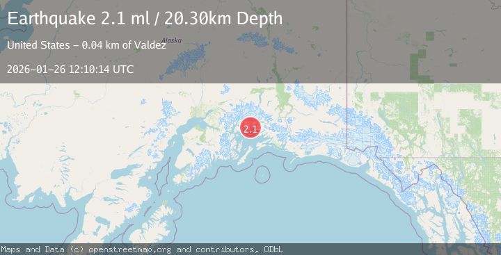
A 2.1 magnitude earthquake struck on 22 km WNW of Tatitlek, Alaska, at Mon, 26 Jan 2026 12:10:14 GMT. Depth: 20.3km. Reviewed by USGS seismologists, this minor quake occurred at a magnitude type of ml.
Magnitude
2.1
ml
Source
USGS
Intensity
-
Agency Reports
1 Sources| Source | Magnitude | Depth | Time |
|---|---|---|---|
| USGSPrimary | 2.1 | 20 km | 20 hours ago |
Earthquake Details
AutomaticEvent IDusgs_ak2026buvjgz
Tsunami PotentialNo
Magnitude Typeml
Nearest Places
- Elf Point0.4 km
- Round Mountain1.2 km
- Lutris Pass1.3 km
- Emerald Cove1.5 km
- Heather Bay2.2 km
Comments
Join the discussion about this event.
Latest Earthquakes
2.3Mag
Sumbawa Region, Indonesia
Time20 hours ago
Depth28.52 km
SourceBMKG (Automatic)
1.8Mag
NORTHERN ITALY
Time20 hours ago
Depth6.90 km
SourceETHZ (Automatic)
2.1Mag
FRANCE
Time20 hours ago
Depth5.00 km
SourceReNaSS (Automatic)
2.7Mag
NORTHERN SUMATRA, INDONESIA
Time21 hours ago
Depth130.00 km
SourceBMKG (Automatic)
0.6Mag
23 km SSW of La Quinta, CA
Time21 hours ago
Depth14.11 km
SourceUSGS (Automatic)
Nearby Earthquakes
4.4Mag
SOUTHERN ALASKA
Time21 hours ago
Depth20.00 km
SourceAK (Automatic)
3.2Mag
22 km WNW of Tatitlek, Alaska
Time4 days ago
Depth18.30 km
SourceUSGS (Automatic)
1.3Mag
47 km WNW of Tatitlek, Alaska
Time3 days ago
Depth5.00 km
SourceUSGS (Automatic)
1.5Mag
52 km WNW of Tatitlek, Alaska
Time4 days ago
Depth7.30 km
SourceUSGS (Automatic)
2.3Mag
12 km WSW of Valdez, Alaska
Time2 days ago
Depth49.60 km
SourceUSGS (Automatic)