Earthquake 48 km NW of Tatitlek, Alaska
Fri, 30 Jan 2026 16:20:02 GMT
Time3 hours ago
Location
61.1420, -147.3740
Depth
17.4 KM
Event Summary
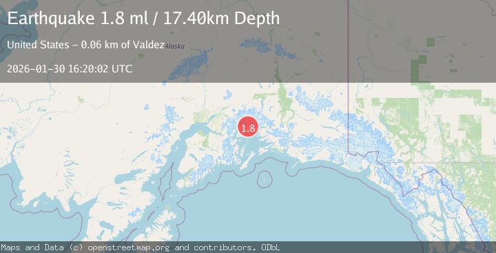
A 1.8 magnitude earthquake struck on 48 km NW of Tatitlek, Alaska, at Fri, 30 Jan 2026 16:20:02 GMT. Depth: 17.4km. Reviewed by USGS seismologists, this minor quake occurred at a magnitude type of ml.
Magnitude
1.8
ml
Source
USGS
Intensity
-
Agency Reports
1 Sources| Source | Magnitude | Depth | Time |
|---|---|---|---|
| USGSPrimary | 1.8 | 17 km | 3 hours ago |
Earthquake Details
AutomaticEvent IDusgs_ak2026ccmobc
Tsunami PotentialNo
Magnitude Typeml
Nearest Places
- Pedro Glacier3.5 km
- Brilliant Glacier3.9 km
- Mount Grosvenor5.5 km
- Miners Lake7.8 km
- Ranney Creek8.2 km
Comments
Join the discussion about this event.
Latest Earthquakes
3.2Mag
South of Java, Indonesia
Time26 minutes ago
Depth10.00 km
SourceBMKG (Automatic)
3.5Mag
Southern Sumatra, Indonesia
Time28 minutes ago
Depth20.50 km
SourceBMKG (Automatic)
2.8Mag
NICARAGUA
Time33 minutes ago
Depth6.00 km
SourceINET (Automatic)
2.6Mag
ATACAMA, CHILE
Time35 minutes ago
Depth109.10 km
SourceCSN (Automatic)
0.7Mag
9 km SW of Salton City, CA
Time46 minutes ago
Depth7.68 km
SourceUSGS (Automatic)
Nearby Earthquakes
3.5Mag
45 km NW of Tatitlek, Alaska
Time3 days ago
Depth13.60 km
SourceUSGS (Automatic)
1.3Mag
47 km WNW of Tatitlek, Alaska
Time6 days ago
Depth5.00 km
SourceUSGS (Automatic)
1.5Mag
52 km WNW of Tatitlek, Alaska
Time1 week ago
Depth7.30 km
SourceUSGS (Automatic)
1.9Mag
42 km WNW of Valdez, Alaska
Time3 days ago
Depth9.20 km
SourceUSGS
1.0Mag
61 km NE of Whittier, Alaska
Time1 week ago
Depth46.70 km
SourceUSGS (Automatic)