Earthquake 20 km W of Karluk, Alaska
Sun, 01 Feb 2026 18:31:30 GMT
Time5 days ago
Location
57.5970, -154.7860
Depth
68.0 KM
Event Summary
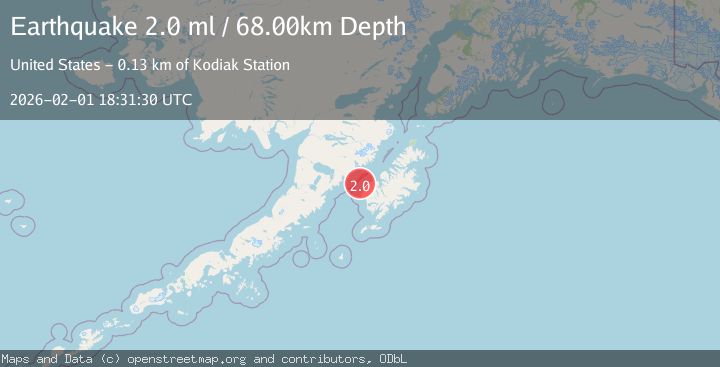
A 2.0 magnitude earthquake struck on 20 km W of Karluk, Alaska, at Sun, 01 Feb 2026 18:31:30 GMT. Depth: 68km. Reviewed by USGS seismologists, this minor quake occurred at a magnitude type of ml.
Magnitude
2.0
ml
Source
USGS
Intensity
-
Agency Reports
1 Sources| Source | Magnitude | Depth | Time |
|---|---|---|---|
| USGSPrimary | 2.0 | 68 km | 5 days ago |
Earthquake Details
AutomaticEvent IDusgs_ak2026cgiicb
Tsunami PotentialNo
Magnitude Typeml
Nearest Places
- Sturgeon Head13.6 km
- Cape Karluk16.2 km
- Sturgeon River16.7 km
- Grant Lagoon17.1 km
- Hume Cannery (historical)17.7 km
Comments
Join the discussion about this event.
Latest Earthquakes
4.4Mag
OFF W. COAST OF S. ISLAND, N.Z.
Time8 minutes ago
Depth12.00 km
SourceGNS (Automatic)
5.0Mag
OFF COAST OF CENTRAL AMERICA
Time11 minutes ago
Depth26.00 km
SourceEMSC (Automatic)
2.7Mag
8 km NW of The Geysers, CA
Time16 minutes ago
Depth1.81 km
SourceUSGS (Automatic)
3.4Mag
GREECE
Time19 minutes ago
Depth5.00 km
SourceNOA (Automatic)
2.6Mag
Timor Region
Time21 minutes ago
Depth16.69 km
SourceBMKG (Automatic)
Nearby Earthquakes
2.2Mag
15 km W of Karluk, Alaska
Time1 week ago
Depth22.10 km
SourceUSGS (Automatic)
2.1Mag
36 km W of Karluk, Alaska
Time1 week ago
Depth64.30 km
SourceUSGS (Automatic)
2.1Mag
19 km N of Karluk, Alaska
Time1 week ago
Depth56.00 km
SourceUSGS (Automatic)
2.1Mag
30 km SW of Karluk, Alaska
Time2 hours ago
Depth26.80 km
SourceUSGS (Automatic)
1.7Mag
22 km N of Karluk, Alaska
Time2 weeks ago
Depth51.40 km
SourceUSGS (Automatic)