Earthquake 59 km N of Karluk, Alaska
Mon, 02 Feb 2026 19:12:20 GMT
Time4 hours ago
Location
58.1000, -154.3310
Depth
3.1 KM
Event Summary
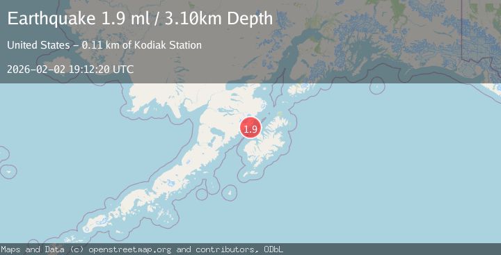
A 1.9 magnitude earthquake struck on 59 km N of Karluk, Alaska, at Mon, 02 Feb 2026 19:12:20 GMT. Depth: 3.1km. Reviewed by USGS seismologists, this minor quake occurred at a magnitude type of ml.
Magnitude
1.9
ml
Source
USGS
Intensity
-
Agency Reports
1 Sources| Source | Magnitude | Depth | Time |
|---|---|---|---|
| USGSPrimary | 1.9 | 3 km | 4 hours ago |
Earthquake Details
AutomaticEvent IDusgs_ak2026ciflea
Tsunami PotentialNo
Magnitude Typeml
Nearest Places
- Cape Atushagvik2.1 km
- Russian Anchorage2.5 km
- Missak Bay3.6 km
- Kinak Bay6.9 km
- Cape Kuliak8.0 km
Comments
Join the discussion about this event.
Latest Earthquakes
2.2Mag
7 km S of Badger, Alaska
Time6 minutes ago
Depth19.20 km
SourceUSGS (Automatic)
1.9Mag
87 km N of Yakutat, Alaska
Time19 minutes ago
Depth5.00 km
SourceUSGS (Automatic)
1.8Mag
44 km NW of Tatitlek, Alaska
Time23 minutes ago
Depth17.80 km
SourceUSGS (Automatic)
2.3Mag
Flores Region, Indonesia
Time23 minutes ago
Depth17.19 km
SourceBMKG (Automatic)
3.6Mag
Sumbawa Region, Indonesia
Time25 minutes ago
Depth14.84 km
SourceBMKG (Automatic)
Nearby Earthquakes
1.7Mag
56 km N of Karluk, Alaska
Time1 day ago
Depth74.20 km
SourceUSGS (Automatic)
2.3Mag
60 km NNE of Karluk, Alaska
Time3 days ago
Depth75.30 km
SourceUSGS (Automatic)
1.5Mag
61 km N of Karluk, Alaska
Time1 week ago
Depth83.80 km
SourceUSGS (Automatic)
2.1Mag
70 km N of Karluk, Alaska
Time4 days ago
Depth97.30 km
SourceUSGS (Automatic)
1.3Mag
60 km NNW of Karluk, Alaska
Time1 week ago
Depth5.00 km
SourceUSGS (Automatic)