Earthquake 107 km N of Yakutat, Alaska
Tue, 27 Jan 2026 11:18:24 GMT
Time2 hours ago
Location
60.5100, -139.8460
Depth
10.5 KM
Event Summary
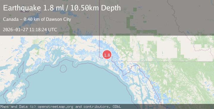
A 1.8 magnitude earthquake struck on 107 km N of Yakutat, Alaska, at Tue, 27 Jan 2026 11:18:24 GMT. Depth: 10.5km. Reviewed by USGS seismologists, this minor quake occurred at a magnitude type of ml.
Magnitude
1.8
ml
Source
USGS
Intensity
-
Agency Reports
1 Sources| Source | Magnitude | Depth | Time |
|---|---|---|---|
| USGSPrimary | 1.8 | 11 km | 2 hours ago |
Earthquake Details
ConfirmedEvent IDusgs_ak2026bwpjmf
Tsunami PotentialNo
Magnitude Typeml
Nearest Places
- Mount King George4.0 km
- Marker Lake7.8 km
- Mount Queen Mary14.7 km
- Mount Vancouver18.7 km
- St. Elias Mountains21.0 km
Comments
Join the discussion about this event.
Latest Earthquakes
1.4Mag
41 km NW of Toyah, Texas
Time3 minutes ago
Depth2.74 km
SourceUSGS (Automatic)
2.0Mag
Sumbawa Region, Indonesia
Time8 minutes ago
Depth107.77 km
SourceBMKG (Automatic)
1.7Mag
26 km WNW of Ludlow, CA
Time12 minutes ago
Depth1.36 km
SourceUSGS (Automatic)
3.1Mag
HAITI REGION
Time14 minutes ago
Depth7.00 km
SourceAYIT (Automatic)
2.6Mag
PUERTO RICO
Time20 minutes ago
Depth16.10 km
SourcePR (Automatic)
Nearby Earthquakes
4.4Mag
SOUTHERN YUKON TERRITORY, CANADA
Time2 days ago
Depth5.00 km
SourceAK (Automatic)
1.8Mag
110 km N of Yakutat, Alaska
Time16 hours ago
Depth9.50 km
SourceUSGS
0.9Mag
88 km NNW of Yakutat, Alaska
Time3 days ago
Depth36.90 km
SourceUSGS (Automatic)
2.5Mag
134 km N of Yakutat, Alaska
Time1 week ago
Depth8.60 km
SourceUSGS
2.5Mag
SOUTHERN YUKON TERRITORY, CANADA
Time20 hours ago
Depth5.90 km
SourceNEIC (Automatic)