Earthquake 112 km NNW of Yakutat, Alaska
Thu, 05 Feb 2026 22:33:12 GMT
Time1 hour ago
Location
60.5290, -140.1570
Depth
11.3 KM
Event Summary
A 3.0 magnitude earthquake struck on 112 km NNW of Yakutat, Alaska, at Thu, 05 Feb 2026 22:33:12 GMT. Depth: 11.3km. Reviewed by USGS seismologists, this minor quake occurred at a magnitude type of ml.
Magnitude
3.0
ml
Source
USGS
Intensity
-
Agency Reports
2 Sources| Source | Magnitude | Depth | Time |
|---|---|---|---|
| USGSPrimary | 3.0 | 6 km | 52 minutes ago |
| AK | 3.0 | 6 km | 52 minutes ago |
Earthquake Details
ConfirmedEvent IDusgs_ak2026cnzgzr
Tsunami PotentialNo
Magnitude Typeml
Nearest Places
- McArthur Peak9.1 km
- Marker Lake9.5 km
- Mount Logan14.2 km
- Mount King George20.2 km
- Mount Queen Mary26.0 km
Comments
Join the discussion about this event.
Latest Earthquakes
2.5Mag
CENTRAL TURKEY
Time9 minutes ago
Depth3.20 km
SourceKOERI (Automatic)
3.2Mag
OFF E. COAST OF N. ISLAND, N.Z.
Time12 minutes ago
Depth319.10 km
SourceGNS (Automatic)
2.9Mag
SIKKIM, INDIA
Time19 minutes ago
Depth5.00 km
SourceNDI (Automatic)
2.3Mag
58 km WSW of Cantwell, Alaska
Time22 minutes ago
Depth2.80 km
SourceUSGS
0.4Mag
4 km W of Cobb, CA
Time25 minutes ago
Depth2.09 km
SourceUSGS (Automatic)
Nearby Earthquakes
1.8Mag
109 km N of Yakutat, Alaska
Time4 hours ago
Depth7.70 km
SourceUSGS
1.8Mag
110 km N of Yakutat, Alaska
Time1 week ago
Depth9.50 km
SourceUSGS
1.8Mag
107 km N of Yakutat, Alaska
Time1 week ago
Depth10.50 km
SourceUSGS
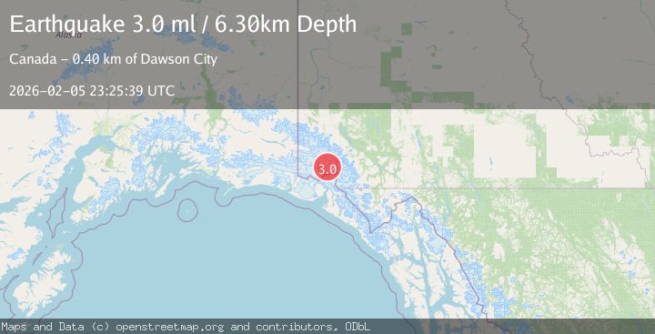
4.4Mag
SOUTHERN YUKON TERRITORY, CANADA
Time1 week ago
Depth5.00 km
SourceAK (Automatic)
3.8Mag
SOUTHERN YUKON TERRITORY, CANADA
Time5 days ago
Depth5.20 km
SourceAK (Automatic)