Earthquake 98 km N of Karluk, Alaska
Sat, 07 Feb 2026 21:49:35 GMT
Time1 hour ago
Location
58.4540, -154.4750
Depth
2.9 KM
Event Summary
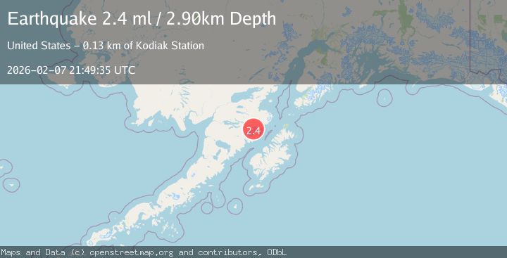
A 2.4 magnitude earthquake struck on 98 km N of Karluk, Alaska, at Sat, 07 Feb 2026 21:49:35 GMT. Depth: 2.9km. Reviewed by USGS seismologists, this minor quake occurred at a magnitude type of ml.
Magnitude
2.4
ml
Source
USGS
Intensity
-
Agency Reports
1 Sources| Source | Magnitude | Depth | Time |
|---|---|---|---|
| USGSPrimary | 2.4 | 3 km | 1 hour ago |
Earthquake Details
AutomaticEvent IDusgs_ak2026crphbw
Tsunami PotentialNo
Magnitude Typeml
Nearest Places
- Hook Glacier2.8 km
- Mount Denison4.2 km
- Mount Steller5.5 km
- Kukak Volcano7.0 km
- Devils Desk10.6 km
Comments
Join the discussion about this event.
Latest Earthquakes
2.0Mag
2 km E of The Geysers, CA
Time7 minutes ago
Depth1.83 km
SourceUSGS (Automatic)
3.3Mag
Southern Sumatra, Indonesia
Time15 minutes ago
Depth14.52 km
SourceBMKG (Automatic)
2.6Mag
BALI REGION, INDONESIA
Time16 minutes ago
Depth178.00 km
SourceBMKG (Automatic)
2.4Mag
Flores Region, Indonesia
Time16 minutes ago
Depth144.68 km
SourceBMKG (Automatic)
3.0Mag
MINDANAO, PHILIPPINES
Time27 minutes ago
Depth20.00 km
SourcePIVS (Automatic)
Nearby Earthquakes
1.5Mag
100 km N of Karluk, Alaska
Time2 weeks ago
Depth5.00 km
SourceUSGS (Automatic)
1.1Mag
102 km S of Kokhanok, Alaska
Time2 weeks ago
Depth65.40 km
SourceUSGS (Automatic)
1.9Mag
97 km S of Kokhanok, Alaska
Time1 week ago
Depth5.00 km
SourceUSGS (Automatic)
0.8Mag
94 km NNW of Karluk, Alaska
Time5 days ago
Depth5.00 km
SourceUSGS (Automatic)
1.0Mag
95 km NNW of Karluk, Alaska
Time6 days ago
Depth5.00 km
SourceUSGS (Automatic)