Earthquake 14 km E of Rampart, Alaska
Sun, 08 Feb 2026 14:52:15 GMT
Time1 hour ago
Location
65.5230, -149.8630
Depth
7.4 KM
Event Summary
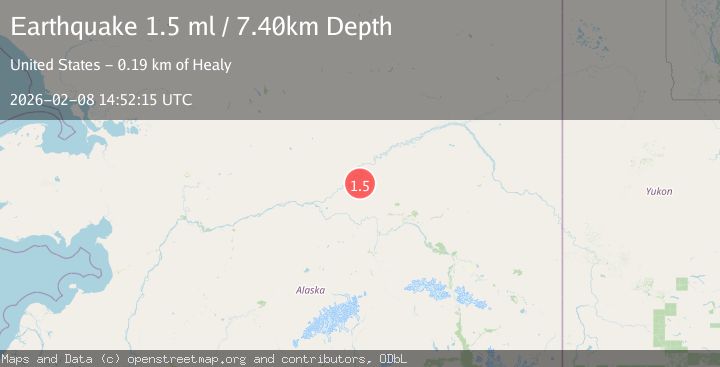
A 1.5 magnitude earthquake struck on 14 km E of Rampart, Alaska, at Sun, 08 Feb 2026 14:52:15 GMT. Depth: 7.4km. Reviewed by USGS seismologists, this minor quake occurred at a magnitude type of ml.
Magnitude
1.5
ml
Source
USGS
Intensity
-
Agency Reports
1 Sources| Source | Magnitude | Depth | Time |
|---|---|---|---|
| USGSPrimary | 1.5 | 7 km | 1 hour ago |
Earthquake Details
AutomaticEvent IDusgs_ak2026csxeil
Tsunami PotentialNo
Magnitude Typeml
Nearest Places
- Ninety-two Hunter Creek5.8 km
- Forty-seven Gulch5.8 km
- Grouse Creek6.2 km
- Dawson Creek7.9 km
- Yukon Bar8.7 km
Comments
Join the discussion about this event.
Latest Earthquakes
1.8Mag
26 km SE of Susitna North, Alaska
Time5 minutes ago
Depth23.30 km
SourceUSGS (Automatic)
1.2Mag
23 km N of Borrego Springs, CA
Time12 minutes ago
Depth3.28 km
SourceUSGS (Automatic)
2.1Mag
Sumba Region, Indonesia
Time13 minutes ago
Depth10.00 km
SourceBMKG (Automatic)
1.9Mag
WESTERN TURKEY
Time24 minutes ago
Depth9.60 km
SourceAFAD (Automatic)
2.3Mag
West Papua, Indonesia
Time26 minutes ago
Depth10.00 km
SourceBMKG (Automatic)
Nearby Earthquakes
1.2Mag
17 km E of Rampart, Alaska
Time1 day ago
Depth11.40 km
SourceUSGS (Automatic)
1.1Mag
25 km W of Minto, Alaska
Time1 day ago
Depth13.10 km
SourceUSGS (Automatic)
2.0Mag
22 km W of Minto, Alaska
Time2 days ago
Depth16.70 km
SourceUSGS (Automatic)
1.2Mag
24 km NE of Minto, Alaska
Time5 days ago
Depth6.60 km
SourceUSGS (Automatic)
1.0Mag
28 km SSW of Livengood, Alaska
Time2 weeks ago
Depth5.00 km
SourceUSGS (Automatic)