Earthquake 56 km SSE of King Salmon, Alaska
Sun, 08 Feb 2026 18:44:27 GMT
Time4 hours ago
Location
58.2010, -156.3950
Depth
5.0 KM
Event Summary
A 1.7 magnitude earthquake struck on 56 km SSE of King Salmon, Alaska, at Sun, 08 Feb 2026 18:44:27 GMT. Depth: 5km. Reviewed by USGS seismologists, this minor quake occurred at a magnitude type of ml.
Magnitude
1.7
ml
Source
USGS
Intensity
-
Agency Reports
1 Sources| Source | Magnitude | Depth | Time |
|---|---|---|---|
| USGSPrimary | 1.7 | 5 km | 4 hours ago |
Earthquake Details
AutomaticEvent IDusgs_ak2026ctewlc
Tsunami PotentialNo
Magnitude Typeml
Nearest Places
- Granite Creek7.5 km
- Gertrude Creek11.3 km
- Whale Mountain17.7 km
- Takayofo Creek23.1 km
- Contact Creek23.2 km
Comments
Join the discussion about this event.
Latest Earthquakes
3.0Mag
Java Sea
Time3 hours ago
Depth5.00 km
SourceBMKG (Automatic)
2.4Mag
Northern Sumatra, Indonesia
Time4 hours ago
Depth5.00 km
SourceBMKG (Automatic)
2.5Mag
CZECH REPUBLIC
Time4 hours ago
Depth1.00 km
SourceGFZ (Automatic)
2.7Mag
Northern Sumatra, Indonesia
Time4 hours ago
Depth129.20 km
SourceBMKG (Automatic)
2.1Mag
Minahassa Peninsula, Sulawesi
Time4 hours ago
Depth9.40 km
SourceBMKG (Automatic)
Nearby Earthquakes
1.6Mag
55 km SSE of King Salmon, Alaska
Time1 day ago
Depth5.00 km
SourceUSGS (Automatic)
1.5Mag
57 km SSE of King Salmon, Alaska
Time1 day ago
Depth10.40 km
SourceUSGS (Automatic)
1.4Mag
57 km E of Egegik, Alaska
Time2 days ago
Depth17.70 km
SourceUSGS (Automatic)
1.4Mag
56 km E of Egegik, Alaska
Time2 days ago
Depth12.20 km
SourceUSGS (Automatic)
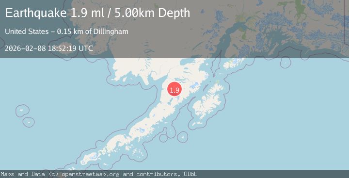
1.9Mag
58 km SSE of King Salmon, Alaska
Time3 days ago
Depth5.00 km
SourceUSGS (Automatic)