Earthquake 14 km SW of Searles Valley, CA
Mon, 09 Feb 2026 00:13:24 GMT
Time1 hour ago
Location
35.6628, -117.4957
Depth
6.3 KM
Event Summary
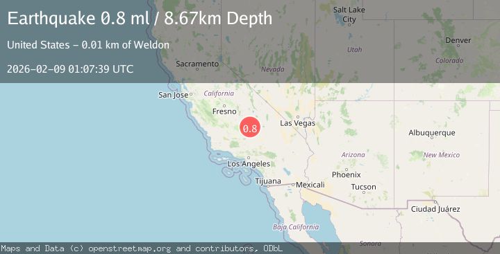
A 0.8 magnitude earthquake struck on 14 km SW of Searles Valley, CA, at Mon, 09 Feb 2026 00:13:24 GMT. Depth: 6.31km. Reviewed by USGS seismologists, this minor quake occurred at a magnitude type of ml.
Magnitude
0.8
ml
Source
USGS
Intensity
-
Agency Reports
1 Sources| Source | Magnitude | Depth | Time |
|---|---|---|---|
| USGSPrimary | 0.8 | 9 km | 21 minutes ago |
Earthquake Details
AutomaticEvent IDusgs_ci41394168
Tsunami PotentialNo
Magnitude Typeml
Nearest Places
- Salt Wells Valley1.0 km
- The Y2.5 km
- Trona Water Pipeline4.0 km
- Skytop4.3 km
- Fish Head Rocks6.0 km
Comments
Join the discussion about this event.
Latest Earthquakes
2.5Mag
Northern Sumatra, Indonesia
Time9 minutes ago
Depth4.77 km
SourceBMKG (Automatic)
1.6Mag
4 km ENE of Saint Helena, CA
Time10 minutes ago
Depth8.01 km
SourceUSGS (Automatic)
2.6Mag
West Papua Region, Indonesia
Time17 minutes ago
Depth10.00 km
SourceBMKG (Automatic)
1.7Mag
EASTERN MEDITERRANEAN SEA
Time31 minutes ago
Depth7.10 km
SourceAFAD (Automatic)
1.1Mag
CENTRAL TURKEY
Time35 minutes ago
Depth7.00 km
SourceAFAD (Automatic)
Nearby Earthquakes
1.0Mag
14 km SW of Searles Valley, CA
Time6 days ago
Depth4.19 km
SourceUSGS (Automatic)
1.2Mag
14 km SW of Searles Valley, CA
Time2 weeks ago
Depth4.54 km
SourceUSGS (Automatic)
1.4Mag
15 km ENE of Ridgecrest, CA
Time1 week ago
Depth7.69 km
SourceUSGS (Automatic)
1.7Mag
12 km SW of Searles Valley, CA
Time3 days ago
Depth6.44 km
SourceUSGS (Automatic)
1.1Mag
12 km ENE of Ridgecrest, CA
Time2 weeks ago
Depth6.28 km
SourceUSGS (Automatic)