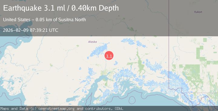
Earthquake 62 km N of Petersville, Alaska
Mon, 09 Feb 2026 06:51:44 GMT
Time1 hour ago
Location
63.0540, -150.8730
Depth
121.0 KM
Event Summary
A 2.0 magnitude earthquake struck on 62 km N of Petersville, Alaska, at Mon, 09 Feb 2026 06:51:44 GMT. Depth: 121km. Reviewed by USGS seismologists, this minor quake occurred at a magnitude type of ml.
Magnitude
2.0
ml
Source
USGS
Intensity
-
Agency Reports
1 Sources| Source | Magnitude | Depth | Time |
|---|---|---|---|
| USGSPrimary | 2.0 | 121 km | 1 hour ago |
Earthquake Details
AutomaticEvent IDusgs_ak2026cuczdj
Tsunami PotentialNo
Magnitude Typeml
Nearest Places
- East Buttress1.1 km
- Northwest Fork Ruth Glacier2.3 km
- South Buttress2.6 km
- Thayer Basin3.7 km
- Southeast Spur4.0 km
Comments
Join the discussion about this event.
Latest Earthquakes
1.5Mag
6 km ENE of San Simeon, CA
Time1 hour ago
Depth5.20 km
SourceUSGS (Automatic)
2.3Mag
Bali Sea
Time1 hour ago
Depth10.90 km
SourceBMKG (Automatic)
3.0Mag
OFFSHORE EL SALVADOR
Time1 hour ago
Depth26.00 km
SourceINET (Automatic)
1.9Mag
STRAIT OF GIBRALTAR
Time1 hour ago
Depth0.00 km
SourceIGN (Automatic)
2.8Mag
WESTERN TEXAS
Time1 hour ago
Depth3.80 km
SourceTX (Automatic)
Nearby Earthquakes
2.0Mag
64 km N of Petersville, Alaska
Time1 week ago
Depth113.50 km
SourceUSGS (Automatic)
1.7Mag
64 km N of Petersville, Alaska
Time10 hours ago
Depth132.30 km
SourceUSGS (Automatic)
2.8Mag
63 km SE of Denali National Park, Alaska
Time1 week ago
Depth123.60 km
SourceUSGS (Automatic)
2.1Mag
66 km N of Petersville, Alaska
Time2 days ago
Depth114.50 km
SourceUSGS (Automatic)
2.3Mag
63 km SE of Denali National Park, Alaska
Time1 week ago
Depth127.50 km
SourceUSGS (Automatic)