Earthquake 104 km NW of Yakutat, Alaska
Sun, 08 Feb 2026 22:44:37 GMT
Time1 hour ago
Location
60.2710, -140.9150
Depth
5.0 KM
Event Summary
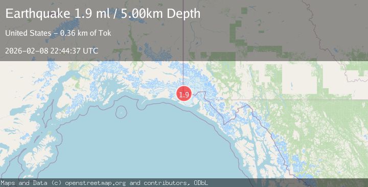
A 1.9 magnitude earthquake struck on 104 km NW of Yakutat, Alaska, at Sun, 08 Feb 2026 22:44:37 GMT. Depth: 5km. Reviewed by USGS seismologists, this minor quake occurred at a magnitude type of ml.
Magnitude
1.9
ml
Source
USGS
Intensity
-
Agency Reports
1 Sources| Source | Magnitude | Depth | Time |
|---|---|---|---|
| USGSPrimary | 1.9 | 5 km | 1 hour ago |
Earthquake Details
AutomaticEvent IDusgs_ak2026ctmvju
Tsunami PotentialNo
Magnitude Typeml
Nearest Places
- Mount Saint Elias2.6 km
- Haydon Peak4.2 km
- Russell Col5.0 km
- Mount Newton5.7 km
- Boundary Peak 1876.1 km
Comments
Join the discussion about this event.
Latest Earthquakes
2.1Mag
Minahassa Peninsula, Sulawesi
Time3 minutes ago
Depth7.09 km
SourceBMKG (Automatic)
0.3Mag
14 km SW of Searles Valley, CA
Time5 minutes ago
Depth6.31 km
SourceUSGS (Automatic)
3.2Mag
MINDORO, PHILIPPINES
Time13 minutes ago
Depth111.00 km
SourcePIVS (Automatic)
2.7Mag
CRETE, GREECE
Time16 minutes ago
Depth20.80 km
SourceNOA (Automatic)
1.5Mag
STRAIT OF GIBRALTAR
Time20 minutes ago
Depth0.00 km
SourceIGN (Automatic)
Nearby Earthquakes
1.6Mag
98 km NW of Yakutat, Alaska
Time2 days ago
Depth23.10 km
SourceUSGS (Automatic)
1.6Mag
102 km NW of Yakutat, Alaska
Time2 weeks ago
Depth15.10 km
SourceUSGS (Automatic)
1.5Mag
97 km NW of Yakutat, Alaska
Time23 hours ago
Depth1.80 km
SourceUSGS (Automatic)
2.2Mag
110 km NW of Yakutat, Alaska
Time2 weeks ago
Depth16.90 km
SourceUSGS (Automatic)
0.8Mag
120 km NW of Yakutat, Alaska
Time2 weeks ago
Depth5.00 km
SourceUSGS (Automatic)