Earthquake 36 km NNW of Glacier View, Alaska
Mon, 09 Feb 2026 13:58:28 GMT
Time6 hours ago
Location
62.0980, -147.9700
Depth
28.9 KM
Event Summary
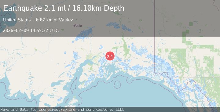
A 2.1 magnitude earthquake struck on 36 km NNW of Glacier View, Alaska, at Mon, 09 Feb 2026 13:58:28 GMT. Depth: 28.9km. Reviewed by USGS seismologists, this minor quake occurred at a magnitude type of ml.
Magnitude
2.1
ml
Source
USGS
Intensity
-
Agency Reports
1 Sources| Source | Magnitude | Depth | Time |
|---|---|---|---|
| USGSPrimary | 2.1 | 16 km | 5 hours ago |
Earthquake Details
AutomaticEvent IDusgs_ak2026curcwg
Tsunami PotentialNo
Magnitude Typeml
Nearest Places
- Glass Creek9.3 km
- Mazuma Creek9.7 km
- Whistler Creek11.1 km
- Chitna Pass13.6 km
- Nowhere Creek15.6 km
Comments
Join the discussion about this event.
Latest Earthquakes
1.1Mag
8 km SSW of Mojave, CA
Time14 minutes ago
Depth1.87 km
SourceUSGS (Automatic)
3.6Mag
NORTH ISLAND OF NEW ZEALAND
Time15 minutes ago
Depth5.10 km
SourceGNS (Automatic)
1.8Mag
11 km SE of Pāhala, Hawaii
Time15 minutes ago
Depth32.48 km
SourceUSGS (Automatic)
3.4Mag
OFF THE COAST OF GUATEMALA
Time16 minutes ago
Depth13.00 km
SourceINET (Automatic)
2.0Mag
Flores Region, Indonesia
Time18 minutes ago
Depth80.94 km
SourceBMKG (Automatic)
Nearby Earthquakes
2.0Mag
40 km NNW of Glacier View, Alaska
Time3 days ago
Depth34.90 km
SourceUSGS
1.6Mag
40 km NNW of Glacier View, Alaska
Time2 days ago
Depth34.70 km
SourceUSGS (Automatic)
1.7Mag
37 km N of Glacier View, Alaska
Time3 days ago
Depth23.40 km
SourceUSGS (Automatic)
2.6Mag
38 km NNE of Chickaloon, Alaska
Time2 weeks ago
Depth20.00 km
SourceUSGS (Automatic)
1.8Mag
39 km N of Glacier View, Alaska
Time1 week ago
Depth36.20 km
SourceUSGS (Automatic)