Earthquake 11 km SE of Pāhala, Hawaii
Mon, 09 Feb 2026 19:50:31 GMT
Time1 hour ago
Location
19.1390, -155.3938
Depth
32.5 KM
Event Summary
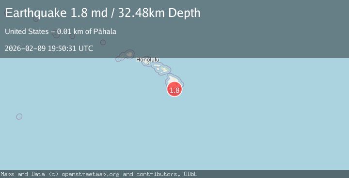
A 1.8 magnitude earthquake struck on 11 km SE of Pāhala, Hawaii, at Mon, 09 Feb 2026 19:50:31 GMT. Depth: 32.4799995422363km. Reviewed by USGS seismologists, this minor quake occurred at a magnitude type of md.
Magnitude
1.8
md
Source
USGS
Intensity
-
Agency Reports
1 Sources| Source | Magnitude | Depth | Time |
|---|---|---|---|
| USGSPrimary | 1.8 | 32 km | 1 hour ago |
Earthquake Details
AutomaticEvent IDusgs_hv74897082
Tsunami PotentialNo
Magnitude Typemd
Nearest Places
- Waiapele Bay5.0 km
- Ahole Heiau5.2 km
- Mahuka Bay5.4 km
- Punahaha5.5 km
- Kapaoo Point5.5 km
Comments
Join the discussion about this event.
Latest Earthquakes
2.2Mag
Sumbawa Region, Indonesia
Time7 minutes ago
Depth31.11 km
SourceBMKG (Automatic)
3.5Mag
Banda Sea
Time11 minutes ago
Depth133.12 km
SourceBMKG (Automatic)
2.1Mag
WESTERN TEXAS
Time12 minutes ago
Depth6.80 km
SourceTX (Automatic)
2.1Mag
Sulawesi, Indonesia
Time16 minutes ago
Depth10.00 km
SourceBMKG (Automatic)
2.7Mag
Java, Indonesia
Time17 minutes ago
Depth13.54 km
SourceBMKG (Automatic)
Nearby Earthquakes
1.7Mag
11 km SE of Pāhala, Hawaii
Time2 days ago
Depth32.03 km
SourceUSGS (Automatic)
2.3Mag
ISLAND OF HAWAII, HAWAII
Time16 hours ago
Depth42.00 km
SourceHV (Automatic)
1.8Mag
13 km SE of Pāhala, Hawaii
Time2 weeks ago
Depth28.46 km
SourceUSGS (Automatic)
3.2Mag
13 km ESE of Pāhala, Hawaii
Time2 weeks ago
Depth29.62 km
SourceUSGS
1.9Mag
13 km SE of Pāhala, Hawaii
Time2 weeks ago
Depth29.31 km
SourceUSGS (Automatic)