Earthquake Southern Alaska
Thu, 12 Feb 2026 03:55:10 GMT
Time6 days ago
Location
61.1234, -147.3875
Depth
7.1 KM
Event Summary
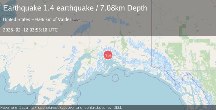
A 1.4 magnitude earthquake struck on Southern Alaska, at Thu, 12 Feb 2026 03:55:10 GMT. Depth: 7.080078125km. Reviewed by VYT seismologists, this minor quake occurred at a magnitude type of earthquake.
Magnitude
1.4
earthquake
Source
VYT
Intensity
-
Agency Reports
1 Sources| Source | Magnitude | Depth | Time |
|---|---|---|---|
| VYTPrimary | 1.4 | 7 km | 6 days ago |
Earthquake Details
AutomaticEvent IDvyt_rh398i7otae6
Tsunami PotentialNo
Magnitude Typeearthquake
Nearest Places
- Brilliant Glacier3.2 km
- Pedro Glacier4.1 km
- Miners Lake5.7 km
- Mount Grosvenor7.1 km
- Miners River7.9 km
Comments
Join the discussion about this event.
Latest Earthquakes
1.7Mag
Washington
Time16 hours ago
Depth27.59 km
SourceVYT (Automatic)
2.4Mag
Antofagasta, Chile
Time16 hours ago
Depth133.18 km
SourceVYT (Automatic)
2.4Mag
Central Alaska
Time16 hours ago
Depth0.00 km
SourceVYT (Automatic)
2.5Mag
Java, Indonesia
Time16 hours ago
Depth14.39 km
SourceBMKG
1.5Mag
Alaska Peninsula
Time16 hours ago
Depth31.37 km
SourceVYT (Automatic)
Nearby Earthquakes
1.8Mag
48 km NW of Tatitlek, Alaska
Time2 weeks ago
Depth17.40 km
SourceUSGS (Automatic)
3.5Mag
45 km NW of Tatitlek, Alaska
Time3 weeks ago
Depth13.60 km
SourceUSGS (Automatic)
1.5Mag
Southern Alaska
Time2 days ago
Depth0.00 km
SourceVYT (Automatic)
1.4Mag
51 km NW of Tatitlek, Alaska
Time2 weeks ago
Depth14.40 km
SourceUSGS (Automatic)
1.3Mag
47 km WNW of Tatitlek, Alaska
Time3 weeks ago
Depth5.00 km
SourceUSGS (Automatic)