Earthquake 14 km N of Four Mile Road, Alaska
Mon, 02 Mar 2026 14:25:49 GMT
Time2 hours ago
Location
64.7280, -149.0960
Depth
14.9 KM
Event Summary
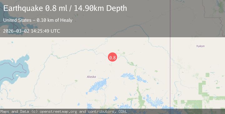
A 0.8 magnitude earthquake struck on 14 km N of Four Mile Road, Alaska, at Mon, 02 Mar 2026 14:25:49 GMT. Depth: 14.9km. Reviewed by USGS seismologists, this minor quake occurred at a magnitude type of ml.
Magnitude
0.8
ml
Source
USGS
Intensity
-
Agency Reports
1 Sources| Source | Magnitude | Depth | Time |
|---|---|---|---|
| USGSPrimary | 0.8 | 15 km | 2 hours ago |
Earthquake Details
AutomaticEvent IDusgs_aka2026ehggxw
Tsunami PotentialNo
Magnitude Typeml
Nearest Places
- 1.8 km
- 3.0 km
- 5.6 km
- 7.2 km
- 7.8 km
Comments
Join the discussion about this event.
Latest Earthquakes
3.6Mag
Rat Islands, Aleutian Islands, Alaska
Time2 hours ago
Depth164.18 km
SourceVYT (Automatic)
1.0Mag
34 km NNW of Chickaloon, Alaska
Time2 hours ago
Depth31.30 km
SourceUSGS (Automatic)
1.3Mag
5 km WNW of Cobb, CA
Time2 hours ago
Depth2.06 km
SourceUSGS (Automatic)
2.3Mag
Near North Coast of West Papua
Time2 hours ago
Depth13.56 km
SourceBMKG
3.7Mag
Near North Coast of West Papua
Time2 hours ago
Depth10.00 km
SourceBMKG
Nearby Earthquakes
1.0Mag
14 km N of Four Mile Road, Alaska
Time3 weeks ago
Depth5.50 km
SourceUSGS (Automatic)
3.0Mag
CENTRAL ALASKA
Time6 months ago
Depth12.60 km
SourceNEIC (Automatic)
2.2Mag
8 km N of Four Mile Road, Alaska
Time1 month ago
Depth19.90 km
SourceUSGS (Automatic)
1.2Mag
19 km NNE of Four Mile Road, Alaska
Time3 weeks ago
Depth5.00 km
SourceUSGS (Automatic)
1.0Mag
6 km NNE of Four Mile Road, Alaska
Time1 week ago
Depth2.00 km
SourceUSGS (Automatic)