Earthquake 118 km NW of Yakutat, Alaska
Tue, 03 Mar 2026 19:39:26 GMT
Time2 hours ago
Location
60.3100, -141.1940
Depth
20.3 KM
Event Summary
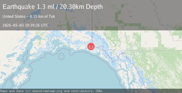
A 1.3 magnitude earthquake struck on 118 km NW of Yakutat, Alaska, at Tue, 03 Mar 2026 19:39:26 GMT. Depth: 20.3km. Reviewed by USGS seismologists, this minor quake occurred at a magnitude type of ml.
Magnitude
1.3
ml
Source
USGS
Intensity
-
Agency Reports
1 Sources| Source | Magnitude | Depth | Time |
|---|---|---|---|
| USGSPrimary | 1.3 | 20 km | 2 hours ago |
Earthquake Details
AutomaticEvent IDusgs_aka2026ejmkbe
Tsunami PotentialNo
Magnitude Typeml
Nearest Places
- 2.9 km
- 3.6 km
- 6.3 km
- 10.9 km
- 11.4 km
Comments
Join the discussion about this event.
Latest Earthquakes
1.8Mag
Kenai Peninsula, Alaska
Time5 minutes ago
Depth12.21 km
SourceVYT (Automatic)
1.7Mag
Southern California
Time10 minutes ago
Depth14.89 km
SourceVYT (Automatic)
3.7Mag
Tarapaca, Chile
Time12 minutes ago
Depth57.01 km
SourceVYT (Automatic)
3.2Mag
Northern Molucca Sea
Time13 minutes ago
Depth10.65 km
SourceBMKG
4.7Mag
Rat Islands, Aleutian Islands, Alaska
Time16 minutes ago
Depth10.00 km
SourceVYT (Automatic)
Nearby Earthquakes
1.4Mag
Southeastern Alaska
Time2 weeks ago
Depth23.56 km
SourceVYT (Automatic)
1.7Mag
118 km NW of Yakutat, Alaska
Time1 week ago
Depth16.90 km
SourceUSGS
2.0Mag
Southeastern Alaska
Time1 day ago
Depth16.97 km
SourceVYT (Automatic)
3.0Mag
SOUTHERN ALASKA
Time2 years ago
Depth2.50 km
SourceAK (Automatic)
1.1Mag
Southeastern Alaska
Time2 weeks ago
Depth0.00 km
SourceVYT (Automatic)