Earthquake 13 km WSW of Searles Valley, CA
Mon, 12 Jan 2026 11:04:13 GMT
Time13 hours ago
Location
35.7372, -117.5413
Depth
6.4 KM
Event Summary
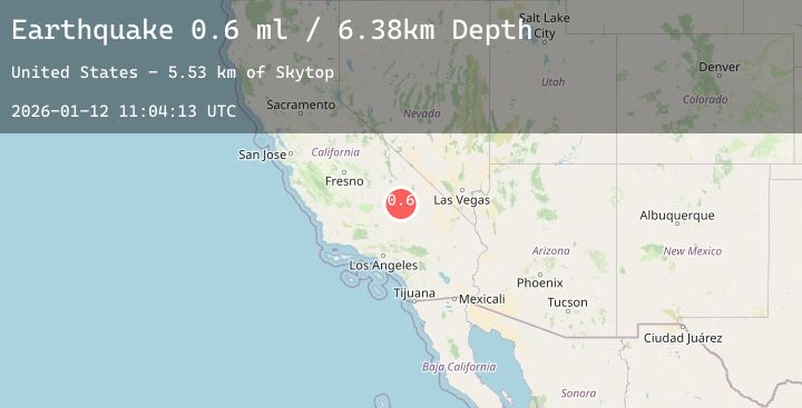
A 0.6 magnitude earthquake struck on 13 km WSW of Searles Valley, CA, at Mon, 12 Jan 2026 11:04:13 GMT. Depth: 6.38km. Reviewed by USGS seismologists, this minor quake occurred at a magnitude type of ml.
Magnitude
0.6
ml
Source
USGS
Intensity
-
Agency Reports
1 Sources| Source | Magnitude | Depth | Time |
|---|---|---|---|
| USGSPrimary | 0.6 | 6 km | 13 hours ago |
Earthquake Details
AutomaticEvent IDusgs_ci41155951
Tsunami PotentialNo
Magnitude Typeml
Nearest Places
- Skytop5.5 km
- China Lake6.8 km
- Trona Water Pipeline7.2 km
- Burro Canyon7.4 km
- Burro Canyon Test Facility7.7 km
Comments
Join the discussion about this event.
Latest Earthquakes
2.1Mag
Minahassa Peninsula, Sulawesi
Time10 hours ago
Depth30.92 km
SourceBMKG (Automatic)
2.3Mag
44 km NNW of Valdez, Alaska
Time10 hours ago
Depth18.60 km
SourceUSGS (Automatic)
1.1Mag
2 km NNW of The Geysers, CA
Time10 hours ago
Depth0.37 km
SourceUSGS (Automatic)
4.6Mag
TAIWAN REGION
Time10 hours ago
Depth66.10 km
SourceEMSC (Automatic)
3.6Mag
MYANMAR
Time10 hours ago
Depth10.00 km
SourceTSB (Automatic)
Nearby Earthquakes
0.6Mag
17 km E of Ridgecrest, CA
Time19 hours ago
Depth4.26 km
SourceUSGS (Automatic)
0.6Mag
21 km E of Little Lake, CA
Time21 hours ago
Depth2.16 km
SourceUSGS (Automatic)
1.5Mag
21 km E of Little Lake, CA
Time1 day ago
Depth2.41 km
SourceUSGS (Automatic)
1.9Mag
20 km E of Little Lake, CA
Time1 day ago
Depth1.46 km
SourceUSGS (Automatic)