Earthquake 17 km W of Searles Valley, CA
Sat, 31 Jan 2026 22:33:43 GMT
Time1 day ago
Location
35.7617, -117.5950
Depth
10.0 KM
Event Summary
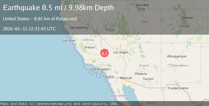
A 0.5 magnitude earthquake struck on 17 km W of Searles Valley, CA, at Sat, 31 Jan 2026 22:33:43 GMT. Depth: 9.98km. Reviewed by USGS seismologists, this minor quake occurred at a magnitude type of ml.
Magnitude
0.5
ml
Source
USGS
Intensity
-
Agency Reports
1 Sources| Source | Magnitude | Depth | Time |
|---|---|---|---|
| USGSPrimary | 0.5 | 10 km | 1 day ago |
Earthquake Details
AutomaticEvent IDusgs_ci41177367
Tsunami PotentialNo
Magnitude Typeml
Nearest Places
- Burro Canyon4.4 km
- China Lake4.6 km
- Paxton Ranch4.8 km
- Burro Canyon Test Facility5.2 km
- Kennedy Viewing Stands6.7 km
Comments
Join the discussion about this event.
Latest Earthquakes
2.5Mag
Java, Indonesia
Time4 minutes ago
Depth25.51 km
SourceBMKG (Automatic)
1.8Mag
10 km ESE of Pearsall, Texas
Time8 minutes ago
Depth8.90 km
SourceUSGS (Automatic)
3.5Mag
West Papua Region, Indonesia
Time12 minutes ago
Depth76.55 km
SourceBMKG (Automatic)
1.6Mag
6 km NNW of Lakeside, CA
Time13 minutes ago
Depth3.33 km
SourceUSGS (Automatic)
2.8Mag
Sulawesi, Indonesia
Time27 minutes ago
Depth10.00 km
SourceBMKG (Automatic)
Nearby Earthquakes
1.5Mag
17 km NNE of Ridgecrest, CA
Time3 days ago
Depth8.41 km
SourceUSGS (Automatic)
0.7Mag
15 km NNE of Ridgecrest, CA
Time1 day ago
Depth10.28 km
SourceUSGS (Automatic)
0.6Mag
19 km NNE of Ridgecrest, CA
Time1 week ago
Depth8.30 km
SourceUSGS (Automatic)
1.7Mag
15 km WSW of Searles Valley, CA
Time1 week ago
Depth4.02 km
SourceUSGS (Automatic)
0.6Mag
13 km NE of Ridgecrest, CA
Time9 hours ago
Depth6.91 km
SourceUSGS (Automatic)