Earthquake 11 km ENE of Ridgecrest, CA
Mon, 09 Feb 2026 08:47:40 GMT
Time1 hour ago
Location
35.6465, -117.5560
Depth
1.4 KM
Event Summary
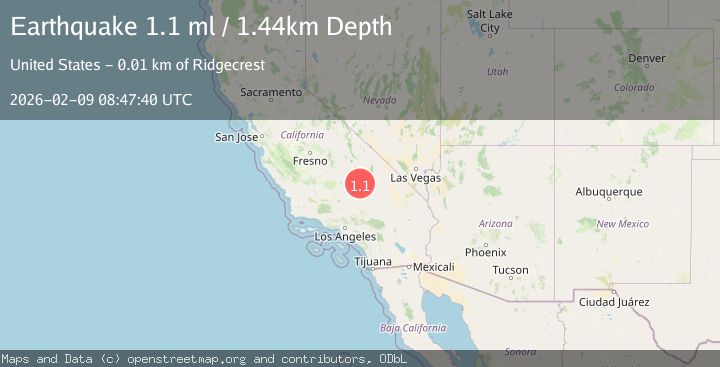
A 1.1 magnitude earthquake struck on 11 km ENE of Ridgecrest, CA, at Mon, 09 Feb 2026 08:47:40 GMT. Depth: 1.44000005722046km. Reviewed by USGS seismologists, this minor quake occurred at a magnitude type of ml.
Magnitude
1.1
ml
Source
USGS
Intensity
-
Agency Reports
1 Sources| Source | Magnitude | Depth | Time |
|---|---|---|---|
| USGSPrimary | 1.1 | 1 km | 1 hour ago |
Earthquake Details
AutomaticEvent IDusgs_ci41394312
Tsunami PotentialNo
Magnitude Typeml
Nearest Places
- Trona Water Pipeline3.3 km
- Bureau of Land Management - Salt Wells Fire Station4.4 km
- Lone Butte4.5 km
- Salt Wells Valley4.8 km
- Landmark Letter5.2 km
Comments
Join the discussion about this event.
Latest Earthquakes
1.4Mag
102 km NW of Yakutat, Alaska
Time16 minutes ago
Depth18.30 km
SourceUSGS (Automatic)
3.0Mag
MINDANAO, PHILIPPINES
Time21 minutes ago
Depth34.00 km
SourcePIVS (Automatic)
2.9Mag
Minahassa Peninsula, Sulawesi
Time22 minutes ago
Depth160.17 km
SourceBMKG (Automatic)
2.6Mag
TARAPACA, CHILE
Time29 minutes ago
Depth31.30 km
SourceCSN (Automatic)
2.1Mag
Java, Indonesia
Time34 minutes ago
Depth3.29 km
SourceBMKG (Automatic)
Nearby Earthquakes
1.1Mag
12 km ENE of Ridgecrest, CA
Time2 weeks ago
Depth6.28 km
SourceUSGS (Automatic)
1.5Mag
10 km E of Ridgecrest, CA
Time3 days ago
Depth0.85 km
SourceUSGS (Automatic)
1.3Mag
11 km ENE of Ridgecrest, CA
Time1 week ago
Depth3.18 km
SourceUSGS (Automatic)
0.7Mag
13 km ENE of Ridgecrest, CA
Time1 week ago
Depth7.22 km
SourceUSGS (Automatic)
1.4Mag
15 km ENE of Ridgecrest, CA
Time1 week ago
Depth7.69 km
SourceUSGS (Automatic)