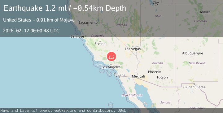
Earthquake 14 km SE of Tehachapi, CA
Wed, 11 Feb 2026 23:15:38 GMT
Time1 week ago
Location
35.0475, -118.3343
Depth
-1.1 KM
Event Summary
A 1.2 magnitude earthquake struck on 14 km SE of Tehachapi, CA, at Wed, 11 Feb 2026 23:15:38 GMT. Depth: -1.12000000476837km. Reviewed by USGS seismologists, this minor quake occurred at a magnitude type of ml.
Magnitude
1.2
ml
Source
USGS
Intensity
-
Agency Reports
1 Sources| Source | Magnitude | Depth | Time |
|---|---|---|---|
| USGSPrimary | 1.2 | -1 km | 1 week ago |
Earthquake Details
AutomaticEvent IDusgs_ci41396032
Tsunami PotentialNo
Magnitude Typeml
Nearest Places
- 2.2 km
- 3.0 km
- 4.4 km
- 5.1 km
- 6.1 km
Comments
Join the discussion about this event.
Latest Earthquakes
3.2Mag
Salta, Argentina
Time2 minutes ago
Depth241.58 km
SourceVYT (Automatic)
1.7Mag
24 km ESE of Naalehu, Hawaii
Time9 minutes ago
Depth32.31 km
SourceUSGS (Automatic)
1.3Mag
NORTHERN ITALY
Time9 minutes ago
Depth8.00 km
SourceOGS (Automatic)
3.1Mag
Halmahera, Indonesia
Time10 minutes ago
Depth16.99 km
SourceBMKG
2.2Mag
Poland
Time13 minutes ago
Depth0.00 km
SourceVYT (Automatic)
Nearby Earthquakes
1.2Mag
14 km W of Mojave, CA
Time2 weeks ago
Depth-0.90 km
SourceUSGS (Automatic)
1.3Mag
14 km W of Mojave, CA
Time3 weeks ago
Depth0.37 km
SourceUSGS (Automatic)
1.1Mag
13 km SE of Tehachapi, CA
Time2 hours ago
Depth-0.79 km
SourceUSGS (Automatic)
1.3Mag
13 km SE of Tehachapi, CA
Time1 week ago
Depth5.79 km
SourceUSGS (Automatic)
2.1Mag
14 km WSW of Mojave, CA
Time3 weeks ago
Depth7.99 km
SourceUSGS (Automatic)