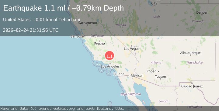
Earthquake 13 km SE of Tehachapi, CA
Tue, 24 Feb 2026 21:31:56 GMT
Time1 hour ago
Location
35.0580, -118.3332
Depth
-0.8 KM
Event Summary
A 1.1 magnitude earthquake struck on 13 km SE of Tehachapi, CA, at Tue, 24 Feb 2026 21:31:56 GMT. Depth: -0.79km. Reviewed by USGS seismologists, this minor quake occurred at a magnitude type of ml.
Magnitude
1.1
ml
Source
USGS
Intensity
-
Agency Reports
1 Sources| Source | Magnitude | Depth | Time |
|---|---|---|---|
| USGSPrimary | 1.1 | -1 km | 1 hour ago |
Earthquake Details
AutomaticEvent IDusgs_ci41402960
Tsunami PotentialNo
Magnitude Typeml
Nearest Places
- 1.9 km
- 2.4 km
- 3.8 km
- 5.0 km
- 5.0 km
Comments
Join the discussion about this event.
Latest Earthquakes
2.4Mag
Central Alaska
Time1 hour ago
Depth4.15 km
SourceVYT (Automatic)
1.1Mag
Southern Alaska
Time1 hour ago
Depth38.57 km
SourceVYT (Automatic)
2.5Mag
Java, Indonesia
Time1 hour ago
Depth84.08 km
SourceBMKG
2.2Mag
Ceram Sea, Indonesia
Time1 hour ago
Depth53.71 km
SourceVYT (Automatic)
3.0Mag
southern Sumatra, Indonesia
Time1 hour ago
Depth51.51 km
SourceVYT (Automatic)
Nearby Earthquakes
1.3Mag
13 km SE of Tehachapi, CA
Time1 week ago
Depth5.79 km
SourceUSGS (Automatic)
1.2Mag
14 km SE of Tehachapi, CA
Time1 week ago
Depth-1.12 km
SourceUSGS (Automatic)
1.2Mag
14 km W of Mojave, CA
Time2 weeks ago
Depth-0.90 km
SourceUSGS (Automatic)
1.3Mag
14 km W of Mojave, CA
Time3 weeks ago
Depth0.37 km
SourceUSGS (Automatic)
5.2Mag
SOUTHERN CALIFORNIA
Time11 years ago
Depth13.00 km
SourceNEIR (Automatic)