Earthquake 2 km SSE of Loma Linda, CA
Fri, 13 Feb 2026 11:37:10 GMT
Time5 days ago
Location
34.0322, -117.2502
Depth
1.3 KM
Event Summary
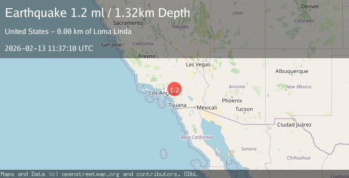
A 1.2 magnitude earthquake struck on 2 km SSE of Loma Linda, CA, at Fri, 13 Feb 2026 11:37:10 GMT. Depth: 1.32000005245209km. Reviewed by USGS seismologists, this minor quake occurred at a magnitude type of ml.
Magnitude
1.2
ml
Source
USGS
Intensity
-
Agency Reports
1 Sources| Source | Magnitude | Depth | Time |
|---|---|---|---|
| USGSPrimary | 1.2 | 1 km | 5 days ago |
Earthquake Details
AutomaticEvent IDusgs_ci41397112
Tsunami PotentialNo
Magnitude Typeml
Nearest Places
Comments
Join the discussion about this event.
Latest Earthquakes
1.7Mag
Alaska Peninsula
Time1 minute ago
Depth0.00 km
SourceVYT (Automatic)
1.4Mag
Kenai Peninsula, Alaska
Time5 minutes ago
Depth1.95 km
SourceVYT (Automatic)
3.1Mag
Northern Sumatra, Indonesia
Time5 minutes ago
Depth14.69 km
SourceBMKG
1.9Mag
Channel Islands region, California
Time6 minutes ago
Depth2.81 km
SourceVYT (Automatic)
3.3Mag
Southern Alaska
Time12 minutes ago
Depth13.06 km
SourceVYT (Automatic)
Nearby Earthquakes
1.0Mag
3 km SSE of Loma Linda, CA
Time5 days ago
Depth1.89 km
SourceUSGS (Automatic)
0.7Mag
2 km SE of Loma Linda, CA
Time1 hour ago
Depth3.87 km
SourceUSGS (Automatic)
1.2Mag
3 km SE of Loma Linda, CA
Time1 week ago
Depth3.54 km
SourceUSGS (Automatic)
0.7Mag
3 km SSE of Loma Linda, CA
Time2 weeks ago
Depth2.82 km
SourceUSGS (Automatic)
1.5Mag
2 km SE of Loma Linda, CA
Time2 weeks ago
Depth6.59 km
SourceUSGS (Automatic)