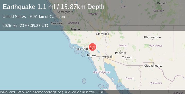
Earthquake 9 km NNW of Cabazon, CA
Mon, 23 Feb 2026 03:05:23 GMT
Time1 hour ago
Location
33.9913, -116.8175
Depth
15.9 KM
Event Summary
A 1.1 magnitude earthquake struck on 9 km NNW of Cabazon, CA, at Mon, 23 Feb 2026 03:05:23 GMT. Depth: 15.8699998855591km. Reviewed by USGS seismologists, this minor quake occurred at a magnitude type of ml.
Magnitude
1.1
ml
Source
USGS
Intensity
-
Agency Reports
1 Sources| Source | Magnitude | Depth | Time |
|---|---|---|---|
| USGSPrimary | 1.1 | 16 km | 1 hour ago |
Earthquake Details
AutomaticEvent IDusgs_ci41401784
Tsunami PotentialNo
Magnitude Typeml
Nearest Places
- 1.8 km
- 2.0 km
- 2.8 km
- 2.9 km
- 3.1 km
Comments
Join the discussion about this event.
Latest Earthquakes
2.5Mag
Java, Indonesia
Time43 minutes ago
Depth93.36 km
SourceBMKG
2.2Mag
SAN FRANCISCO BAY AREA, CALIF.
Time45 minutes ago
Depth8.50 km
SourceNC (Automatic)
1.6Mag
16 km NW of Parkfield, CA
Time49 minutes ago
Depth3.41 km
SourceUSGS (Automatic)
3.0Mag
West Papua Region, Indonesia
Time52 minutes ago
Depth27.52 km
SourceBMKG
2.2Mag
CENTRAL ITALY
Time54 minutes ago
Depth5.90 km
SourceINGV (Automatic)
Nearby Earthquakes
3.0Mag
SOUTHERN CALIFORNIA
Time5 years ago
Depth10.00 km
SourceNEIC (Automatic)
2.1Mag
SOUTHERN CALIFORNIA
Time1 month ago
Depth16.80 km
SourceSCSN (Automatic)
3.0Mag
SOUTHERN CALIFORNIA
Time10 years ago
Depth18.00 km
SourceNEIR (Automatic)
1.4Mag
8 km NNE of Banning, CA
Time0 months ago
Depth12.57 km
SourceUSGS (Automatic)
1.1Mag
6 km NNE of Banning, CA
Time3 weeks ago
Depth8.23 km
SourceUSGS (Automatic)