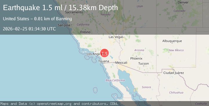
Earthquake 10 km SSE of Banning, CA
Wed, 25 Feb 2026 01:34:30 GMT
Time1 hour ago
Location
33.8415, -116.8532
Depth
15.4 KM
Event Summary
A 1.5 magnitude earthquake struck on 10 km SSE of Banning, CA, at Wed, 25 Feb 2026 01:34:30 GMT. Depth: 15.3800001144409km. Reviewed by USGS seismologists, this minor quake occurred at a magnitude type of ml.
Magnitude
1.5
ml
Source
USGS
Intensity
-
Agency Reports
1 Sources| Source | Magnitude | Depth | Time |
|---|---|---|---|
| USGSPrimary | 1.5 | 15 km | 1 hour ago |
Earthquake Details
AutomaticEvent IDusgs_ci41403176
Tsunami PotentialNo
Magnitude Typeml
Nearest Places
- 0.8 km
- 0.9 km
- 1.0 km
- 1.5 km
- 2.3 km
Comments
Join the discussion about this event.
Latest Earthquakes
2.6Mag
Java, Indonesia
Time54 minutes ago
Depth49.09 km
SourceBMKG
2.6Mag
West Papua, Indonesia
Time1 hour ago
Depth18.93 km
SourceBMKG
3.1Mag
Northern Molucca Sea
Time1 hour ago
Depth33.24 km
SourceBMKG
1.6Mag
Central Alaska
Time1 hour ago
Depth0.00 km
SourceVYT (Automatic)
1.1Mag
7 km SSE of Ackerly, Texas
Time1 hour ago
Depth6.01 km
SourceUSGS (Automatic)
Nearby Earthquakes
4.0Mag
Southern California
Time1 week ago
Depth20.39 km
SourceVYT (Automatic)
1.1Mag
4 km SSE of Banning, CA
Time1 week ago
Depth15.73 km
SourceUSGS (Automatic)
0.9Mag
4 km SSE of Banning, CA
Time1 week ago
Depth12.80 km
SourceUSGS (Automatic)
1.1Mag
7 km NE of San Jacinto, CA
Time5 days ago
Depth16.11 km
SourceUSGS (Automatic)
1.3Mag
5 km S of Cabazon, CA
Time6 days ago
Depth5.80 km
SourceUSGS (Automatic)