Earthquake 3 km SE of Loma Linda, CA
Fri, 27 Feb 2026 12:29:49 GMT
Time5 hours ago
Location
34.0333, -117.2355
Depth
8.0 KM
Event Summary
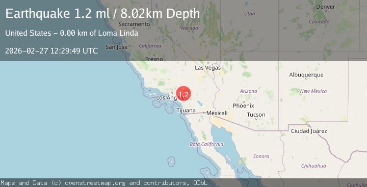
A 1.2 magnitude earthquake struck on 3 km SE of Loma Linda, CA, at Fri, 27 Feb 2026 12:29:49 GMT. Depth: 8.02000045776367km. Reviewed by USGS seismologists, this minor quake occurred at a magnitude type of ml.
Magnitude
1.2
ml
Source
USGS
Intensity
-
Agency Reports
1 Sources| Source | Magnitude | Depth | Time |
|---|---|---|---|
| USGSPrimary | 1.2 | 8 km | 5 hours ago |
Earthquake Details
AutomaticEvent IDusgs_ci41405248
Tsunami PotentialNo
Magnitude Typeml
Nearest Places
- 0.9 km
- 1.1 km
- 1.6 km
- 1.7 km
- 1.8 km
Comments
Join the discussion about this event.
Latest Earthquakes
2.3Mag
Poland
Time1 minute ago
Depth0.85 km
SourceVYT (Automatic)
4.4Mag
Papua, Indonesia
Time2 minutes ago
Depth67.50 km
SourceVYT (Automatic)
2.2Mag
2 km NW of The Geysers, CA
Time5 minutes ago
Depth0.88 km
SourceUSGS (Automatic)
3.1Mag
offshore Valparaiso, Chile
Time6 minutes ago
Depth0.00 km
SourceVYT (Automatic)
2.6Mag
Antofagasta, Chile
Time7 minutes ago
Depth0.00 km
SourceVYT (Automatic)
Nearby Earthquakes
1.3Mag
3 km ESE of Loma Linda, CA
Time6 hours ago
Depth3.89 km
SourceUSGS (Automatic)
1.2Mag
3 km SE of Loma Linda, CA
Time5 hours ago
Depth4.49 km
SourceUSGS (Automatic)
1.3Mag
2 km SE of Loma Linda, CA
Time3 weeks ago
Depth14.22 km
SourceUSGS (Automatic)
1.8Mag
Greater Los Angeles area, California
Time5 hours ago
Depth0.00 km
SourceVYT (Automatic)
1.8Mag
Greater Los Angeles area, California
Time6 hours ago
Depth0.00 km
SourceVYT (Automatic)