Earthquake 6 km ESE of Temecula, CA
Mon, 02 Mar 2026 12:56:42 GMT
Time1 hour ago
Location
33.4688, -117.0923
Depth
14.3 KM
Event Summary
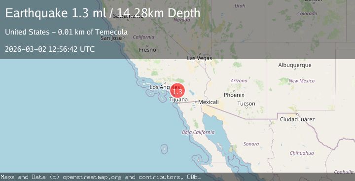
A 1.3 magnitude earthquake struck on 6 km ESE of Temecula, CA, at Mon, 02 Mar 2026 12:56:42 GMT. Depth: 14.2799997329712km. Reviewed by USGS seismologists, this minor quake occurred at a magnitude type of ml.
Magnitude
1.3
ml
Source
USGS
Intensity
-
Agency Reports
1 Sources| Source | Magnitude | Depth | Time |
|---|---|---|---|
| USGSPrimary | 1.3 | 14 km | 1 hour ago |
Earthquake Details
AutomaticEvent IDusgs_ci41407352
Tsunami PotentialNo
Magnitude Typeml
Nearest Places
- 0.5 km
- 0.6 km
- 0.8 km
- 0.9 km
- 0.9 km
Comments
Join the discussion about this event.
Latest Earthquakes
2.5Mag
Sumbawa Region, Indonesia
Time1 hour ago
Depth20.61 km
SourceBMKG
1.9Mag
19 km SSE of Fern Forest, Hawaii
Time1 hour ago
Depth40.14 km
SourceUSGS (Automatic)
3.1Mag
Arkansas
Time1 hour ago
Depth25.02 km
SourceVYT (Automatic)
2.8Mag
4 km WSW of Howardville, Missouri
Time1 hour ago
Depth8.81 km
SourceUSGS
3.8Mag
off the west coast of northern Sumatra
Time1 hour ago
Depth26.49 km
SourceVYT (Automatic)
Nearby Earthquakes
1.0Mag
8 km ESE of Temecula, CA
Time1 month ago
Depth10.23 km
SourceUSGS (Automatic)
1.4Mag
Southern California
Time2 weeks ago
Depth1.22 km
SourceVYT (Automatic)
1.3Mag
1 km ESE of Murrieta, CA
Time3 days ago
Depth14.10 km
SourceUSGS (Automatic)
2.0Mag
11 km NW of Aguanga, CA
Time1 month ago
Depth2.89 km
SourceUSGS (Automatic)
0.7Mag
10 km WNW of Palomar Observatory, CA
Time3 weeks ago
Depth7.99 km
SourceUSGS (Automatic)