Earthquake 6 km NW of The Geysers, CA
Mon, 12 Jan 2026 18:49:24 GMT
Time6 hours ago
Location
38.8180, -122.7992
Depth
2.6 KM
Event Summary
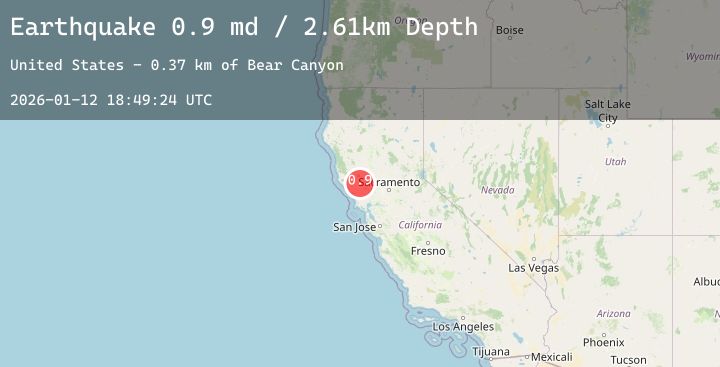
A 0.9 magnitude earthquake struck on 6 km NW of The Geysers, CA, at Mon, 12 Jan 2026 18:49:24 GMT. Depth: 2.60999989509583km. Reviewed by USGS seismologists, this minor quake occurred at a magnitude type of md.
Magnitude
0.9
md
Source
USGS
Intensity
-
Agency Reports
2 Sources| Source | Magnitude | Depth | Time |
|---|---|---|---|
| USGSPrimary | 0.9 | 3 km | 6 hours ago |
| USGSPrimary | 0.9 | 2 km | 6 hours ago |
Earthquake Details
AutomaticEvent IDusgs_nc75294696
Tsunami PotentialNo
Magnitude Typemd
Nearest Places
- Bear Canyon1.8 km
- Geyser Canyon2.1 km
- Geysers Resort2.3 km
- Coldwater Canyon2.7 km
- Geyser Rock2.8 km
Comments
Join the discussion about this event.
Latest Earthquakes
1.6Mag
EASTERN TURKEY
Time6 hours ago
Depth7.00 km
SourceAFAD (Automatic)
4.8Mag
Near North Coast of West Papua
Time6 hours ago
Depth50.89 km
SourceBMKG (Automatic)
2.5Mag
TARAPACA, CHILE
Time6 hours ago
Depth86.40 km
SourceCSN (Automatic)
2.8Mag
Java, Indonesia
Time6 hours ago
Depth22.50 km
SourceBMKG (Automatic)
2.4Mag
CENTRAL TURKEY
Time6 hours ago
Depth7.00 km
SourceEMSC (Automatic)
Nearby Earthquakes
1.2Mag
8 km S of The Geysers, CA
Time9 hours ago
Depth8.66 km
SourceUSGS (Automatic)
0.8Mag
3 km WNW of Cobb, CA
Time10 hours ago
Depth-0.91 km
SourceUSGS (Automatic)
1.3Mag
2 km NNW of The Geysers, CA
Time12 hours ago
Depth0.37 km
SourceUSGS (Automatic)
1.5Mag
7 km NW of The Geysers, CA
Time13 hours ago
Depth0.87 km
SourceUSGS (Automatic)
1.6Mag
12 km NNW of Lake Pillsbury, CA
Time16 hours ago
Depth7.69 km
SourceUSGS (Automatic)