Earthquake 3 km N of The Geysers, CA
Mon, 12 Jan 2026 20:30:46 GMT
Time3 hours ago
Location
38.8000, -122.7530
Depth
2.6 KM
Event Summary
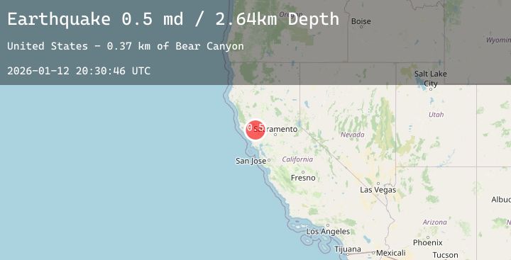
A 0.5 magnitude earthquake struck on 3 km N of The Geysers, CA, at Mon, 12 Jan 2026 20:30:46 GMT. Depth: 2.64000010490417km. Reviewed by USGS seismologists, this minor quake occurred at a magnitude type of md.
Magnitude
0.5
md
Source
USGS
Intensity
-
Agency Reports
1 Sources| Source | Magnitude | Depth | Time |
|---|---|---|---|
| USGSPrimary | 0.5 | 3 km | 3 hours ago |
Earthquake Details
AutomaticEvent IDusgs_nc75294736
Tsunami PotentialNo
Magnitude Typemd
Nearest Places
- Cobb Mountain1.4 km
- Smudgeo Number 1 Heliport1.7 km
- Burned Mountain1.8 km
- Anderson-Bull Spring1.9 km
- Geyser Rock1.9 km
Comments
Join the discussion about this event.
Latest Earthquakes
1.7Mag
88 km WNW of Karluk, Alaska
Time2 hours ago
Depth12.20 km
SourceUSGS (Automatic)
2.8Mag
South of Sumbawa, Indonesia
Time2 hours ago
Depth10.00 km
SourceBMKG (Automatic)
1.6Mag
59 km SE of Pedro Bay, Alaska
Time3 hours ago
Depth5.00 km
SourceUSGS (Automatic)
2.4Mag
Flores Sea
Time3 hours ago
Depth34.59 km
SourceBMKG (Automatic)
2.5Mag
Java, Indonesia
Time3 hours ago
Depth106.39 km
SourceBMKG (Automatic)
Nearby Earthquakes
2.2Mag
6 km NW of The Geysers, CA
Time5 hours ago
Depth2.61 km
SourceUSGS (Automatic)
1.2Mag
8 km S of The Geysers, CA
Time8 hours ago
Depth8.66 km
SourceUSGS (Automatic)
0.8Mag
3 km WNW of Cobb, CA
Time9 hours ago
Depth-0.91 km
SourceUSGS (Automatic)
1.3Mag
2 km NNW of The Geysers, CA
Time10 hours ago
Depth0.37 km
SourceUSGS (Automatic)
1.5Mag
7 km NW of The Geysers, CA
Time12 hours ago
Depth0.87 km
SourceUSGS (Automatic)