Earthquake 15 km NE of San Simeon, CA
Fri, 30 Jan 2026 01:02:14 GMT
Time8 hours ago
Location
35.7343, -121.0660
Depth
5.0 KM
Event Summary
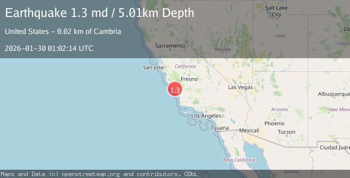
A 1.3 magnitude earthquake struck on 15 km NE of San Simeon, CA, at Fri, 30 Jan 2026 01:02:14 GMT. Depth: 5.01000022888184km. Reviewed by USGS seismologists, this minor quake occurred at a magnitude type of md.
Magnitude
1.3
md
Source
USGS
Intensity
-
Agency Reports
1 Sources| Source | Magnitude | Depth | Time |
|---|---|---|---|
| USGSPrimary | 1.3 | 5 km | 8 hours ago |
Earthquake Details
AutomaticEvent IDusgs_nc75304011
Tsunami PotentialNo
Magnitude Typemd
Nearest Places
- Grizzly Bend1.6 km
- Little Burnett Creek1.6 km
- Gould Creek1.9 km
- North Grizzly Bend Creek2.1 km
- Pebblestone Shut-in2.6 km
Comments
Join the discussion about this event.
Latest Earthquakes
1.9Mag
12 km W of Manton, CA
Time2 minutes ago
Depth16.02 km
SourceUSGS (Automatic)
2.6Mag
Java, Indonesia
Time4 minutes ago
Depth10.00 km
SourceBMKG (Automatic)
2.5Mag
South of Bali, Indonesia
Time14 minutes ago
Depth37.73 km
SourceBMKG (Automatic)
3.2Mag
Southwest of Sumatra, Indonesia
Time16 minutes ago
Depth26.83 km
SourceBMKG (Automatic)
0.8Mag
17 km NE of Pine Valley, CA
Time19 minutes ago
Depth4.90 km
SourceUSGS (Automatic)
Nearby Earthquakes
1.8Mag
11 km ENE of San Simeon, CA
Time1 week ago
Depth5.78 km
SourceUSGS (Automatic)
2.3Mag
CENTRAL CALIFORNIA
Time1 week ago
Depth3.70 km
SourceNC (Automatic)
1.2Mag
8 km N of Cambria, CA
Time1 week ago
Depth3.75 km
SourceUSGS (Automatic)
2.2Mag
8 km N of Cambria, CA
Time6 days ago
Depth5.52 km
SourceUSGS (Automatic)
0.6Mag
12 km WSW of Parkfield, CA
Time1 week ago
Depth11.00 km
SourceUSGS (Automatic)