Earthquake 14 km W of Petrolia, CA
Tue, 03 Feb 2026 09:08:10 GMT
Time1 day ago
Location
40.3048, -124.4452
Depth
18.2 KM
Event Summary
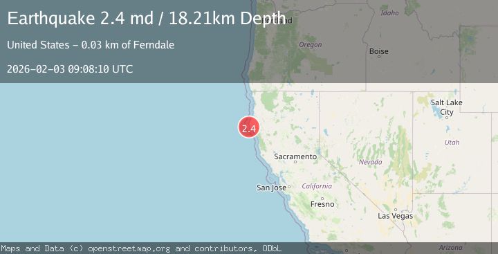
A 2.4 magnitude earthquake struck on 14 km W of Petrolia, CA, at Tue, 03 Feb 2026 09:08:10 GMT. Depth: 18.2099990844727km. Reviewed by USGS seismologists, this minor quake occurred at a magnitude type of md.
Magnitude
2.4
md
Source
USGS
Intensity
-
Agency Reports
1 Sources| Source | Magnitude | Depth | Time |
|---|---|---|---|
| USGSPrimary | 2.4 | 18 km | 1 day ago |
Earthquake Details
AutomaticEvent IDusgs_nc75306626
Tsunami PotentialNo
Magnitude Typemd
Nearest Places
- Mattole Canyon2.4 km
- Mendocino Canyon6.9 km
- Christmas Rock6.9 km
- The Brothers7.4 km
- Mattole Beach7.7 km
Comments
Join the discussion about this event.
Latest Earthquakes
2.4Mag
NORTHERN CALIFORNIA
Time1 hour ago
Depth27.00 km
SourceNC (Automatic)
1.6Mag
28 km NNE of Nellis Air Force Base, Nevada
Time1 hour ago
Depth4.22 km
SourceUSGS (Automatic)
5.8Mag
RYUKYU ISLANDS, JAPAN
Time1 hour ago
Depth10.00 km
SourceGFZ (Automatic)
2.8Mag
ALBANIA
Time1 hour ago
Depth15.00 km
SourceIGEO (Automatic)
1.8Mag
18 km NNE of Indio, CA
Time1 hour ago
Depth3.69 km
SourceUSGS (Automatic)
Nearby Earthquakes
2.0Mag
15 km WSW of Petrolia, CA
Time6 days ago
Depth18.24 km
SourceUSGS (Automatic)
1.9Mag
18 km W of Petrolia, CA
Time1 week ago
Depth18.85 km
SourceUSGS (Automatic)
2.3Mag
22 km W of Petrolia, CA
Time1 week ago
Depth11.53 km
SourceUSGS (Automatic)
2.4Mag
38 km W of Petrolia, CA
Time4 days ago
Depth12.06 km
SourceUSGS (Automatic)
3.4Mag
OFFSHORE NORTHERN CALIFORNIA
Time4 days ago
Depth16.60 km
SourceNC (Automatic)