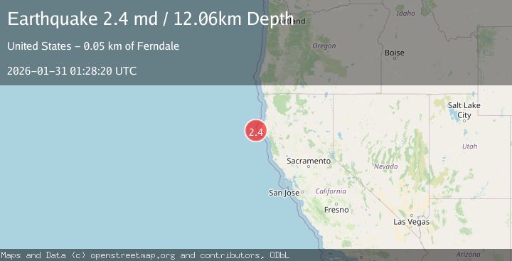
Earthquake 38 km W of Petrolia, CA
Sat, 31 Jan 2026 01:28:20 GMT
Time8 hours ago
Location
40.3002, -124.7368
Depth
12.1 KM
Event Summary
A 2.4 magnitude earthquake struck on 38 km W of Petrolia, CA, at Sat, 31 Jan 2026 01:28:20 GMT. Depth: 12.0600004196167km. Reviewed by USGS seismologists, this minor quake occurred at a magnitude type of md.
Magnitude
2.4
md
Source
USGS
Intensity
-
Agency Reports
1 Sources| Source | Magnitude | Depth | Time |
|---|---|---|---|
| USGSPrimary | 2.4 | 12 km | 8 hours ago |
Earthquake Details
AutomaticEvent IDusgs_nc75304476
Tsunami PotentialNo
Magnitude Typemd
Nearest Places
- Mendocino Canyon13.1 km
- Bear Valley20.4 km
- Mattole Canyon24.4 km
- Blunts Reef Coast Guard Station24.9 km
- Mendocino Canyon25.4 km
Comments
Join the discussion about this event.
Latest Earthquakes
2.0Mag
DODECANESE IS.-TURKEY BORDER REG
Time8 hours ago
Depth3.20 km
SourceKOERI (Automatic)
3.4Mag
EASTERN HONSHU, JAPAN
Time8 hours ago
Depth60.00 km
SourceJMA (Automatic)
3.0Mag
MORO GULF, MINDANAO, PHILIPPINES
Time8 hours ago
Depth16.00 km
SourcePIVS (Automatic)
0.6Mag
85 km NNW of Karluk, Alaska
Time8 hours ago
Depth5.00 km
SourceUSGS (Automatic)
3.5Mag
103 km SSE of Old Harbor, Alaska
Time8 hours ago
Depth11.10 km
SourceUSGS (Automatic)
Nearby Earthquakes
2.3Mag
22 km W of Petrolia, CA
Time4 days ago
Depth11.53 km
SourceUSGS (Automatic)
1.9Mag
18 km W of Petrolia, CA
Time4 days ago
Depth18.85 km
SourceUSGS (Automatic)
2.0Mag
15 km WSW of Petrolia, CA
Time2 days ago
Depth18.24 km
SourceUSGS (Automatic)
2.9Mag
86 km W of Petrolia, CA
Time4 days ago
Depth20.24 km
SourceUSGS (Automatic)
2.7Mag
OFFSHORE NORTHERN CALIFORNIA
Time1 week ago
Depth0.20 km
SourceNC (Automatic)