Earthquake 14 km S of Tres Pinos, CA
Wed, 04 Feb 2026 16:35:13 GMT
Time1 hour ago
Location
36.6605, -121.3142
Depth
4.3 KM
Event Summary
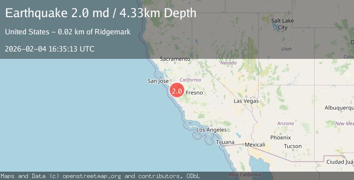
A 2.0 magnitude earthquake struck on 14 km S of Tres Pinos, CA, at Wed, 04 Feb 2026 16:35:13 GMT. Depth: 4.32999992370605km. Reviewed by USGS seismologists, this minor quake occurred at a magnitude type of md.
Magnitude
2.0
md
Source
USGS
Intensity
-
Agency Reports
1 Sources| Source | Magnitude | Depth | Time |
|---|---|---|---|
| USGSPrimary | 2.0 | 4 km | 1 hour ago |
Earthquake Details
AutomaticEvent IDusgs_nc75308352
Tsunami PotentialNo
Magnitude Typemd
Nearest Places
- Three Troughs Canyon3.0 km
- Alvisa Canyon3.2 km
- Thousand Trail Resort3.9 km
- Enz Vineyards4.2 km
- Pescadero Creek4.5 km
Comments
Join the discussion about this event.
Latest Earthquakes
3.5Mag
Talaud Islands, Indonesia
Time6 minutes ago
Depth41.43 km
SourceBMKG (Automatic)
1.3Mag
11 km WSW of Searles Valley, CA
Time11 minutes ago
Depth2.72 km
SourceUSGS (Automatic)
2.2Mag
Sulawesi, Indonesia
Time15 minutes ago
Depth1.82 km
SourceBMKG (Automatic)
2.1Mag
Java, Indonesia
Time15 minutes ago
Depth31.01 km
SourceBMKG (Automatic)
2.6Mag
Near North Coast of West Papua
Time22 minutes ago
Depth10.00 km
SourceBMKG (Automatic)
Nearby Earthquakes
2.6Mag
14 km S of Tres Pinos, CA
Time2 weeks ago
Depth6.66 km
SourceUSGS (Automatic)
1.7Mag
15 km S of Tres Pinos, CA
Time17 hours ago
Depth2.12 km
SourceUSGS (Automatic)
2.4Mag
CENTRAL CALIFORNIA
Time1 week ago
Depth3.10 km
SourceNC (Automatic)
2.1Mag
CENTRAL CALIFORNIA
Time6 days ago
Depth5.40 km
SourceNC (Automatic)
2.0Mag
14 km S of Tres Pinos, CA
Time1 week ago
Depth2.18 km
SourceUSGS (Automatic)