Earthquake 17 km S of Tres Pinos, CA
Thu, 05 Feb 2026 04:44:09 GMT
Time1 hour ago
Location
36.6380, -121.2915
Depth
6.6 KM
Event Summary
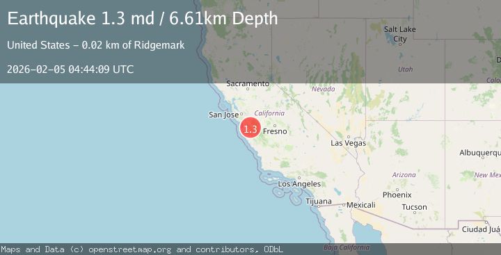
A 1.3 magnitude earthquake struck on 17 km S of Tres Pinos, CA, at Thu, 05 Feb 2026 04:44:09 GMT. Depth: 6.6100001335144km. Reviewed by USGS seismologists, this minor quake occurred at a magnitude type of md.
Magnitude
1.3
md
Source
USGS
Intensity
-
Agency Reports
1 Sources| Source | Magnitude | Depth | Time |
|---|---|---|---|
| USGSPrimary | 1.3 | 7 km | 1 hour ago |
Earthquake Details
AutomaticEvent IDusgs_nc75308732
Tsunami PotentialNo
Magnitude Typemd
Nearest Places
- Alvisa Canyon0.5 km
- Three Troughs Canyon1.1 km
- Bear Canyon2.9 km
- Gabilan Range3.6 km
- Mount Johnson3.7 km
Comments
Join the discussion about this event.
Latest Earthquakes
2.3Mag
CROATIA
Time9 minutes ago
Depth1.20 km
SourceARSO (Automatic)
2.8Mag
Sumbawa Region, Indonesia
Time13 minutes ago
Depth14.64 km
SourceBMKG (Automatic)
2.1Mag
NORTHERN ITALY
Time13 minutes ago
Depth25.20 km
SourceINGV (Automatic)
2.3Mag
SAN FRANCISCO BAY AREA, CALIF.
Time14 minutes ago
Depth3.10 km
SourceNC (Automatic)
1.7Mag
13 km ESE of Pearsall, Texas
Time21 minutes ago
Depth9.64 km
SourceUSGS (Automatic)
Nearby Earthquakes
2.7Mag
17 km S of Tres Pinos, CA
Time2 days ago
Depth5.59 km
SourceUSGS (Automatic)
1.2Mag
17 km S of Tres Pinos, CA
Time2 days ago
Depth5.50 km
SourceUSGS (Automatic)
1.2Mag
17 km S of Tres Pinos, CA
Time2 days ago
Depth6.76 km
SourceUSGS (Automatic)
1.5Mag
17 km S of Tres Pinos, CA
Time1 week ago
Depth5.66 km
SourceUSGS (Automatic)
2.6Mag
CENTRAL CALIFORNIA
Time2 days ago
Depth6.20 km
SourceNC (Automatic)