Earthquake 14 km W of Petrolia, CA
Sat, 07 Feb 2026 03:09:34 GMT
Time1 hour ago
Location
40.3070, -124.4522
Depth
12.4 KM
Event Summary
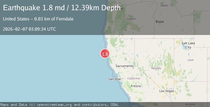
A 1.8 magnitude earthquake struck on 14 km W of Petrolia, CA, at Sat, 07 Feb 2026 03:09:34 GMT. Depth: 12.3900003433228km. Reviewed by USGS seismologists, this minor quake occurred at a magnitude type of md.
Magnitude
1.8
md
Source
USGS
Intensity
-
Agency Reports
1 Sources| Source | Magnitude | Depth | Time |
|---|---|---|---|
| USGSPrimary | 1.8 | 12 km | 1 hour ago |
Earthquake Details
AutomaticEvent IDusgs_nc75309857
Tsunami PotentialNo
Magnitude Typemd
Nearest Places
- Mattole Canyon2.6 km
- Mendocino Canyon6.6 km
- Christmas Rock7.5 km
- The Brothers7.8 km
- Three Brothers8.2 km
Comments
Join the discussion about this event.
Latest Earthquakes
1.5Mag
7 km NW of The Geysers, CA
Time17 minutes ago
Depth2.38 km
SourceUSGS (Automatic)
1.8Mag
SPAIN
Time31 minutes ago
Depth22.50 km
SourceIGN (Automatic)
2.2Mag
Sumbawa Region, Indonesia
Time36 minutes ago
Depth10.00 km
SourceBMKG (Automatic)
2.6Mag
Java, Indonesia
Time40 minutes ago
Depth8.74 km
SourceBMKG (Automatic)
1.7Mag
WESTERN TURKEY
Time41 minutes ago
Depth7.00 km
SourceAFAD (Automatic)
Nearby Earthquakes
2.4Mag
14 km W of Petrolia, CA
Time3 days ago
Depth18.21 km
SourceUSGS (Automatic)
1.8Mag
17 km W of Petrolia, CA
Time1 day ago
Depth10.32 km
SourceUSGS (Automatic)
2.0Mag
15 km WSW of Petrolia, CA
Time1 week ago
Depth18.24 km
SourceUSGS (Automatic)
1.9Mag
18 km W of Petrolia, CA
Time1 week ago
Depth18.85 km
SourceUSGS (Automatic)
2.3Mag
22 km W of Petrolia, CA
Time1 week ago
Depth11.53 km
SourceUSGS (Automatic)