Earthquake 8 km E of Alum Rock, CA
Tue, 03 Mar 2026 08:25:38 GMT
Time3 hours ago
Location
37.3800, -121.7353
Depth
6.2 KM
Event Summary
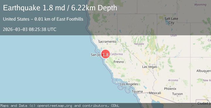
A 1.8 magnitude earthquake struck on 8 km E of Alum Rock, CA, at Tue, 03 Mar 2026 08:25:38 GMT. Depth: 6.21999979019165km. Reviewed by USGS seismologists, this minor quake occurred at a magnitude type of md.
Magnitude
1.8
md
Source
USGS
Intensity
-
Agency Reports
1 Sources| Source | Magnitude | Depth | Time |
|---|---|---|---|
| USGSPrimary | 1.8 | 6 km | 3 hours ago |
Earthquake Details
AutomaticEvent IDusgs_nc75321807
Tsunami PotentialNo
Magnitude Typemd
Nearest Places
- 2.7 km
- 2.7 km
- 2.8 km
- 3.0 km
- 3.8 km
Comments
Join the discussion about this event.
Latest Earthquakes
1.2Mag
15 km N of Warner Springs, CA
Time3 hours ago
Depth6.13 km
SourceUSGS (Automatic)
1.5Mag
Central Alaska
Time3 hours ago
Depth89.60 km
SourceVYT (Automatic)
2.0Mag
SOUTHERN ITALY
Time3 hours ago
Depth14.00 km
SourceINGV (Automatic)
2.9Mag
Northern Sumatra, Indonesia
Time3 hours ago
Depth7.41 km
SourceBMKG
4.0Mag
Andreanof Islands, Aleutian Islands, Alaska
Time3 hours ago
Depth10.00 km
SourceVYT (Automatic)
Nearby Earthquakes
2.2Mag
9 km E of Alum Rock, CA
Time1 week ago
Depth5.86 km
SourceUSGS (Automatic)
1.9Mag
9 km E of Alum Rock, CA
Time1 week ago
Depth5.92 km
SourceUSGS (Automatic)
2.1Mag
SAN FRANCISCO BAY AREA, CALIF.
Time1 week ago
Depth6.40 km
SourceNC (Automatic)
1.9Mag
9 km E of Alum Rock, CA
Time1 month ago
Depth6.05 km
SourceUSGS (Automatic)
1.4Mag
9 km E of Alum Rock, CA
Time3 weeks ago
Depth-0.45 km
SourceUSGS (Automatic)