Earthquake 40 km SW of Silver Gate, Montana
Mon, 09 Feb 2026 21:00:15 GMT
Time1 hour ago
Location
44.7188, -110.2947
Depth
2.4 KM
Event Summary
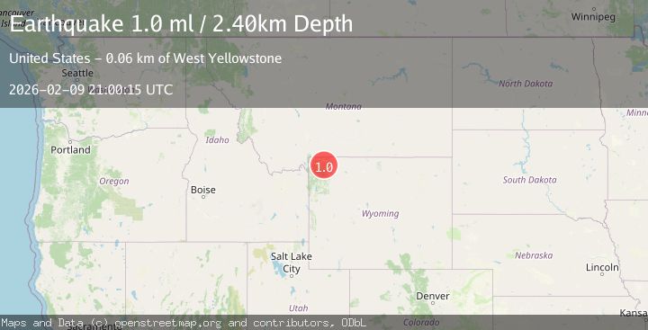
A 1.0 magnitude earthquake struck on 40 km SW of Silver Gate, Montana, at Mon, 09 Feb 2026 21:00:15 GMT. Depth: 2.4km. Reviewed by USGS seismologists, this minor quake occurred at a magnitude type of ml.
Magnitude
1.0
ml
Source
USGS
Intensity
-
Agency Reports
1 Sources| Source | Magnitude | Depth | Time |
|---|---|---|---|
| USGSPrimary | 1.0 | 2 km | 1 hour ago |
Earthquake Details
ConfirmedEvent IDusgs_uu80129301
Tsunami PotentialNo
Magnitude Typeml
Nearest Places
- Wapiti Lake Trail2.9 km
- Wapiti Lake2.9 km
- Josephs Coat Springs3.1 km
- Whistler Geyser3.3 km
- Hot Spring Basin Group4.1 km
Comments
Join the discussion about this event.
Latest Earthquakes
2.1Mag
NEVADA
Time7 minutes ago
Depth16.00 km
SourceNN (Automatic)
3.5Mag
Northern Sumatra, Indonesia
Time16 minutes ago
Depth3.72 km
SourceBMKG (Automatic)
1.9Mag
11 km SE of Pinnacles, CA
Time20 minutes ago
Depth7.41 km
SourceUSGS (Automatic)
1.5Mag
21 km SSW of Manley Hot Springs, Alaska
Time21 minutes ago
Depth12.80 km
SourceUSGS (Automatic)
1.4Mag
TURKEY-SYRIA BORDER REGION
Time26 minutes ago
Depth5.80 km
SourceAFAD (Automatic)
Nearby Earthquakes
1.6Mag
33 km E of West Yellowstone, Montana
Time2 weeks ago
Depth7.60 km
SourceUSGS
1.7Mag
21 km SSW of Mammoth, Wyoming
Time1 week ago
Depth25.82 km
SourceUSGS (Automatic)
0.6Mag
22 km SSW of Mammoth, Wyoming
Time1 week ago
Depth4.45 km
SourceUSGS
4.2Mag
WESTERN MONTANA
Time1 week ago
Depth10.00 km
SourceNEIC (Automatic)
2.6Mag
30 km NW of Stanley, Idaho
Time2 weeks ago
Depth10.89 km
SourceUSGS