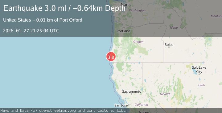
Earthquake 12 km SE of Port Orford, Oregon
Tue, 27 Jan 2026 21:25:05 GMT
Time3 hours ago
Location
42.6502, -124.4092
Depth
0.2 KM
Event Summary
A 3.0 magnitude earthquake struck on 12 km SE of Port Orford, Oregon, at Tue, 27 Jan 2026 21:25:05 GMT. Depth: 0.23km. Reviewed by USGS seismologists, this minor quake occurred at a magnitude type of ml.
Magnitude
3.0
ml
Source
USGS
Intensity
-
Agency Reports
1 Sources| Source | Magnitude | Depth | Time |
|---|---|---|---|
| USGSPrimary | 3.0 | 0 km | 3 hours ago |
Earthquake Details
ConfirmedEvent IDusgs_uw62216302
Tsunami PotentialNo
Magnitude Typeml
Nearest Places
- Reinhart Creek1.6 km
- Blaine Post Office (historical)2.3 km
- Lookout Rock2.4 km
- Beartrap Creek2.5 km
- Humbug Mountain3.9 km
Comments
Join the discussion about this event.
Latest Earthquakes
3.0Mag
OREGON
Time3 hours ago
Depth0.20 km
SourceUW (Automatic)
3.3Mag
Northern Sumatra, Indonesia
Time3 hours ago
Depth10.00 km
SourceBMKG (Automatic)
1.2Mag
21 km SE of Livengood, Alaska
Time3 hours ago
Depth8.60 km
SourceUSGS (Automatic)
4.2Mag
West Papua Region, Indonesia
Time4 hours ago
Depth44.55 km
SourceBMKG (Automatic)
2.0Mag
27 km E of Goodsprings, Nevada
Time4 hours ago
Depth8.10 km
SourceUSGS (Automatic)
Nearby Earthquakes
3.0Mag
OREGON
Time3 hours ago
Depth0.20 km
SourceUW (Automatic)
3.2Mag
132 km WSW of Crescent City, CA
Time1 week ago
Depth1.94 km
SourceUSGS (Automatic)
2.2Mag
NORTHERN CALIFORNIA
Time6 days ago
Depth27.70 km
SourceNC (Automatic)
2.3Mag
4 km SSE of Toledo, Oregon
Time12 hours ago
Depth45.04 km
SourceUSGS (Automatic)
1.6Mag
13 km NE of Hydesville, CA
Time2 days ago
Depth12.10 km
SourceUSGS (Automatic)