Earthquake Southern Alaska
Thu, 12 Feb 2026 12:30:47 GMT
Time6 days ago
Location
60.9872, -147.2249
Depth
31.4 KM
Event Summary
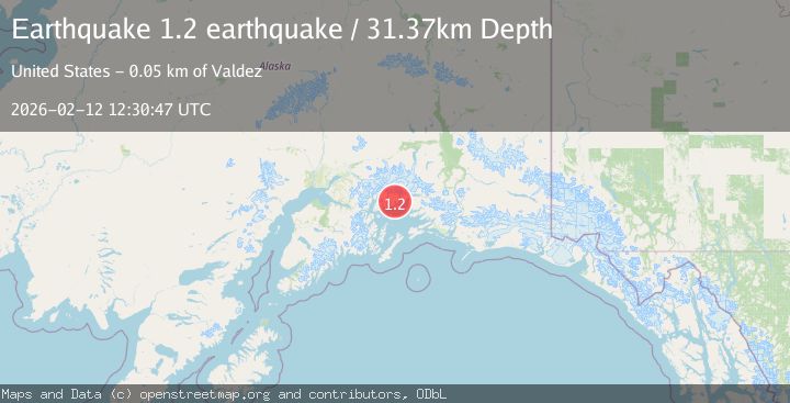
A 1.2 magnitude earthquake struck on Southern Alaska, at Thu, 12 Feb 2026 12:30:47 GMT. Depth: 31.3720703125km. Reviewed by VYT seismologists, this minor quake occurred at a magnitude type of earthquake.
Magnitude
1.2
earthquake
Source
VYT
Intensity
-
Agency Reports
1 Sources| Source | Magnitude | Depth | Time |
|---|---|---|---|
| VYTPrimary | 1.2 | 31 km | 6 days ago |
Earthquake Details
AutomaticEvent IDvyt_24ui31sdrhou9
Tsunami PotentialNo
Magnitude Typeearthquake
Nearest Places
- Long Bay1.5 km
- Schrader Island3.0 km
- Granite Cove3.5 km
- Billys Hole4.5 km
- Useless Cove5.3 km
Comments
Join the discussion about this event.
Latest Earthquakes
2.5Mag
Java, Indonesia
Time4 minutes ago
Depth76.49 km
SourceBMKG
1.9Mag
Tarapaca, Chile
Time10 minutes ago
Depth7.93 km
SourceVYT (Automatic)
2.4Mag
West Papua Region, Indonesia
Time10 minutes ago
Depth10.00 km
SourceBMKG
2.7Mag
Antofagasta, Chile
Time12 minutes ago
Depth0.00 km
SourceVYT (Automatic)
2.7Mag
Tarapaca, Chile
Time17 minutes ago
Depth10.50 km
SourceVYT (Automatic)
Nearby Earthquakes
3.0Mag
SOUTHERN ALASKA
Time1 year ago
Depth22.60 km
SourceNEIC (Automatic)
3.8Mag
SOUTHERN ALASKA
Time1 month ago
Depth35.00 km
SourceNEIC (Automatic)
1.3Mag
Southern Alaska
Time2 days ago
Depth3.91 km
SourceVYT (Automatic)
3.0Mag
SOUTHERN ALASKA
Time5 years ago
Depth24.00 km
SourceNEIC (Automatic)
2.1Mag
22 km WNW of Tatitlek, Alaska
Time3 weeks ago
Depth20.30 km
SourceUSGS (Automatic)