Earthquake Southern Alaska
Mon, 16 Feb 2026 01:17:01 GMT
Time2 days ago
Location
61.0306, -147.1015
Depth
3.9 KM
Event Summary
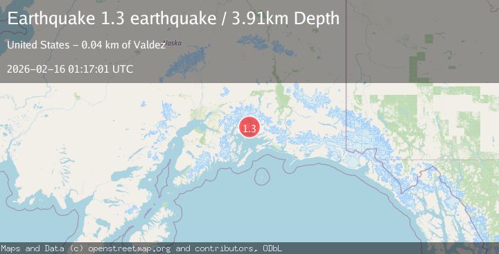
A 1.3 magnitude earthquake struck on Southern Alaska, at Mon, 16 Feb 2026 01:17:01 GMT. Depth: 3.90625km. Reviewed by VYT seismologists, this minor quake occurred at a magnitude type of earthquake.
Magnitude
1.3
earthquake
Source
VYT
Intensity
-
Agency Reports
1 Sources| Source | Magnitude | Depth | Time |
|---|---|---|---|
| VYTPrimary | 1.3 | 4 km | 2 days ago |
Earthquake Details
AutomaticEvent IDvyt_376kdy8zebid2
Tsunami PotentialNo
Magnitude Typeearthquake
Nearest Places
- Terentiev Lake1.7 km
- Heather Bay5.6 km
- Columbia Bay6.4 km
- Number One River6.5 km
- Granite Cove6.8 km
Comments
Join the discussion about this event.
Latest Earthquakes
3.9Mag
Flores region, Indonesia
Time19 hours ago
Depth176.39 km
SourceVYT (Automatic)
3.0Mag
near the coast of southern Peru
Time19 hours ago
Depth57.25 km
SourceVYT (Automatic)
1.5Mag
42 km NW of Toyah, Texas
Time19 hours ago
Depth4.28 km
SourceUSGS (Automatic)
2.1Mag
Antofagasta, Chile
Time19 hours ago
Depth60.55 km
SourceVYT (Automatic)
2.6Mag
Central Alaska
Time19 hours ago
Depth0.00 km
SourceVYT (Automatic)
Nearby Earthquakes
3.0Mag
SOUTHERN ALASKA
Time5 years ago
Depth24.00 km
SourceNEIC (Automatic)
1.8Mag
22 km NW of Tatitlek, Alaska
Time3 weeks ago
Depth13.70 km
SourceUSGS
1.2Mag
Southern Alaska
Time6 days ago
Depth31.37 km
SourceVYT (Automatic)
2.1Mag
22 km WNW of Tatitlek, Alaska
Time3 weeks ago
Depth20.30 km
SourceUSGS (Automatic)
3.8Mag
SOUTHERN ALASKA
Time1 month ago
Depth35.00 km
SourceNEIC (Automatic)