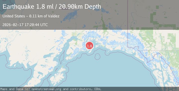
Earthquake Southern Alaska
Tue, 17 Feb 2026 17:20:43 GMT
Time19 hours ago
Location
60.4650, -147.7123
Depth
20.4 KM
Event Summary
A 1.9 magnitude earthquake struck on Southern Alaska, at Tue, 17 Feb 2026 17:20:43 GMT. Depth: 20.3857421875km. Reviewed by VYT seismologists, this minor quake occurred at a magnitude type of earthquake.
Magnitude
1.9
earthquake
Source
VYT
Intensity
-
Agency Reports
1 Sources| Source | Magnitude | Depth | Time |
|---|---|---|---|
| VYTPrimary | 1.9 | 20 km | 19 hours ago |
Earthquake Details
AutomaticEvent IDvyt_2jwpj15clikaz
Tsunami PotentialNo
Magnitude Typeearthquake
Nearest Places
- Herring Bay1.9 km
- Louis Bay2.6 km
- Solf Cove3.9 km
- Lower Passage4.1 km
- Herring Point4.1 km
Comments
Join the discussion about this event.
Latest Earthquakes
2.1Mag
Flores region, Indonesia
Time19 hours ago
Depth26.61 km
SourceVYT (Automatic)
2.5Mag
Sulawesi, Indonesia
Time19 hours ago
Depth5.73 km
SourceBMKG
1.7Mag
5 km S of Calistoga, CA
Time19 hours ago
Depth8.81 km
SourceUSGS (Automatic)
2.1Mag
Sumbawa Region, Indonesia
Time19 hours ago
Depth26.24 km
SourceBMKG
3.0Mag
Kenai Peninsula, Alaska
Time19 hours ago
Depth57.62 km
SourceVYT (Automatic)
Nearby Earthquakes
2.2Mag
52 km NNE of Chenega, Alaska
Time3 weeks ago
Depth27.90 km
SourceUSGS (Automatic)
3.0Mag
SOUTHERN ALASKA
Time6 years ago
Depth5.00 km
SourceNEIR (Automatic)
3.0Mag
SOUTHERN ALASKA
Time4 years ago
Depth18.00 km
SourceNEIC (Automatic)
3.0Mag
SOUTHERN ALASKA
Time3 years ago
Depth16.00 km
SourceNEIC (Automatic)
2.1Mag
Southern Alaska
Time1 week ago
Depth19.65 km
SourceVYT (Automatic)