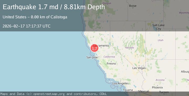
Earthquake 5 km S of Calistoga, CA
Tue, 17 Feb 2026 17:17:37 GMT
Time20 hours ago
Location
38.5362, -122.5903
Depth
8.8 KM
Event Summary
A 1.7 magnitude earthquake struck on 5 km S of Calistoga, CA, at Tue, 17 Feb 2026 17:17:37 GMT. Depth: 8.8100004196167km. Reviewed by USGS seismologists, this minor quake occurred at a magnitude type of md.
Magnitude
1.7
md
Source
USGS
Intensity
-
Agency Reports
1 Sources| Source | Magnitude | Depth | Time |
|---|---|---|---|
| USGSPrimary | 1.7 | 9 km | 20 hours ago |
Earthquake Details
AutomaticEvent IDusgs_nc75315212
Tsunami PotentialNo
Magnitude Typemd
Nearest Places
- Diamond Mountain0.5 km
- Neal Creek2.2 km
- Big Spring2.3 km
- Upper Ritchey Canyon Trail3.1 km
- Diamond Creek Vineyards3.4 km
Comments
Join the discussion about this event.
Latest Earthquakes
1.9Mag
Southern Alaska
Time20 hours ago
Depth20.39 km
SourceVYT (Automatic)
2.1Mag
Flores region, Indonesia
Time20 hours ago
Depth26.61 km
SourceVYT (Automatic)
2.5Mag
Sulawesi, Indonesia
Time20 hours ago
Depth5.73 km
SourceBMKG
2.1Mag
Sumbawa Region, Indonesia
Time20 hours ago
Depth26.24 km
SourceBMKG
3.0Mag
Kenai Peninsula, Alaska
Time20 hours ago
Depth57.62 km
SourceVYT (Automatic)
Nearby Earthquakes
1.6Mag
5 km WSW of Calistoga, CA
Time2 days ago
Depth7.19 km
SourceUSGS (Automatic)
3.0Mag
NORTHERN CALIFORNIA
Time4 years ago
Depth10.00 km
SourceNEIC (Automatic)
1.9Mag
6 km E of Santa Rosa, CA
Time1 week ago
Depth12.06 km
SourceUSGS (Automatic)
2.7Mag
7 km ESE of Santa Rosa, CA
Time3 weeks ago
Depth0.21 km
SourceUSGS (Automatic)
1.6Mag
4 km ENE of Saint Helena, CA
Time1 week ago
Depth8.01 km
SourceUSGS (Automatic)