Earthquake Southern Alaska
Fri, 13 Feb 2026 15:03:19 GMT
Time4 days ago
Location
61.3342, -152.1365
Depth
0.0 KM
Event Summary
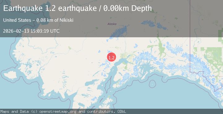
A 1.2 magnitude earthquake struck on Southern Alaska, at Fri, 13 Feb 2026 15:03:19 GMT. Depth: 0km. Reviewed by VYT seismologists, this minor quake occurred at a magnitude type of earthquake.
Magnitude
1.2
earthquake
Source
VYT
Intensity
-
Agency Reports
1 Sources| Source | Magnitude | Depth | Time |
|---|---|---|---|
| VYTPrimary | 1.2 | 0 km | 4 days ago |
Earthquake Details
AutomaticEvent IDvyt_2alps7z28u1jy
Tsunami PotentialNo
Magnitude Typeearthquake
Nearest Places
- The Rowel3.9 km
- Spurr Ice Plateau5.8 km
- Ch'atanalch'elt Li'a7.0 km
- Dogshead Glacier7.1 km
- Mount Spurr7.2 km
Comments
Join the discussion about this event.
Latest Earthquakes
2.1Mag
Tarapaca, Chile
Time5 minutes ago
Depth8.18 km
SourceVYT (Automatic)
1.4Mag
12 km ESE of Olancha, CA
Time6 minutes ago
Depth7.15 km
SourceUSGS (Automatic)
2.8Mag
northwestern Russia
Time7 minutes ago
Depth10.00 km
SourceVYT (Automatic)
3.3Mag
Near North Coast of West Papua
Time7 minutes ago
Depth10.00 km
SourceBMKG
1.2Mag
5 km NNE of Fishhook, Alaska
Time8 minutes ago
Depth0.80 km
SourceUSGS (Automatic)
Nearby Earthquakes
0.8Mag
Southern Alaska
Time5 days ago
Depth0.24 km
SourceVYT (Automatic)
0.7Mag
62 km WNW of Beluga, Alaska
Time1 week ago
Depth5.00 km
SourceUSGS (Automatic)
0.8Mag
Southern Alaska
Time5 days ago
Depth3.54 km
SourceVYT (Automatic)
0.6Mag
Southern Alaska
Time1 day ago
Depth3.78 km
SourceVYT (Automatic)
2.2Mag
Southern Alaska
Time5 days ago
Depth22.22 km
SourceVYT (Automatic)